


12.3 km | 25 km-effort


User


FREE GPS app for hiking
 SityTrail
IGN / Geographical institutes
SityTrail World
The world is yours!
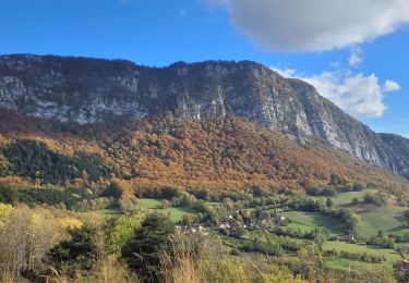
Trail Electric bike of 35 km to be discovered at Auvergne-Rhône-Alpes, Isère, Voreppe. This trail is proposed by gaille38.
circuit de 35 km complet un peut hard sur la long qui sity trail le donne pour 46 km a l effort et 1100 mettre de positif negatif pour ma part je suis en vttae et j ai souffaire et presque crame une batterie de 625 watts

Walking

Walking

Walking

Walking

Walking
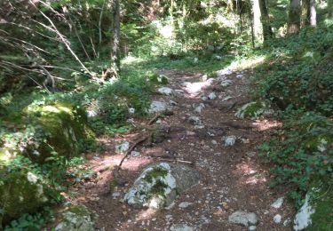
Walking

Walking
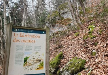
Walking
Walking
j ai modifié la fin du parcours je suis passé passé par le col de la tendon