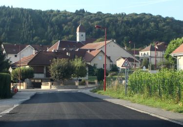
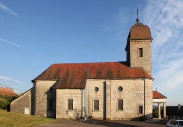
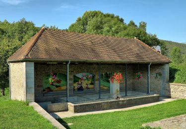
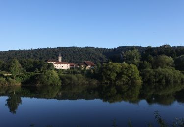
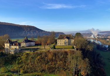
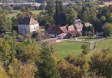
6.9 km | 9.3 km-effort
Roches-lez-beauprés
legios84
User
Length
14.4 km
Max alt
472 m
Uphill gradient
339 m
Km-Effort
19 km
Min alt
272 m
Downhill gradient
348 m
Boucle
Yes
Creation date :
2020-12-05 12:57:09.882
Updated on :
2020-12-05 16:36:53.444
3h02
Difficulty : Medium
FREE GPS app for hiking
About
Trail Walking of 14.4 km to be discovered at Bourgogne-Franche-Comté, Doubs, Roche-lez-Beaupré. This trail is proposed by legios84.
Positioning
Country:
France
Region :
Bourgogne-Franche-Comté
Department/Province :
Doubs
Municipality :
Roche-lez-Beaupré
Location:
Unknown
Start:(Dec)
Start:(UTM)
281580 ; 5240406 (32T) N.
Comments
Trails nearby
Du chateau au fort de Monfaucon
Walking
Easy
(1)
Montfaucon,
Bourgogne-Franche-Comté,
Doubs,
France
1h 55min
Yes
Sentier du Tour des Landes
On foot
Easy
Nancray,
Bourgogne-Franche-Comté,
Doubs,
France
8 km | 10.4 km-effort
2h 22min
Yes
Sentier du Fort des Epesses
On foot
Easy
Gennes,
Bourgogne-Franche-Comté,
Doubs,
France
10.4 km | 14.4 km-effort
3h 16min
Yes
Sentier du Coutelot
On foot
Easy
Thise,
Bourgogne-Franche-Comté,
Doubs,
France
9.1 km | 12.4 km-effort
2h 49min
Yes
Sentier des Sources 2
On foot
Easy
Vaire,
Bourgogne-Franche-Comté,
Doubs,
France
4.9 km | 6.7 km-effort
1h 30min
Yes
Sentier des Sources 1
On foot
Easy
Vaire,
Bourgogne-Franche-Comté,
Doubs,
France
7.6 km | 10.9 km-effort
2h 29min
Yes
Circuit du Fort de Brégille
On foot
Easy
Besançon,
Bourgogne-Franche-Comté,
Doubs,
France
6.9 km | 10.6 km-effort
2h 24min
Yes
Braillans
Walking
Easy
(1)
Braillans,
Bourgogne-Franche-Comté,
Doubs,
France
9.1 km | 11.7 km-effort
1h 24min
Yes
Thise et sa Dame blanche
Walking
Very difficult
Thise,
Bourgogne-Franche-Comté,
Doubs,
France
16.2 km | 23 km-effort
5h 7min
Yes