15 km | 21 km-effort
Le glacier
Genisset
User
Length
5.1 km
Max alt
1125 m
Uphill gradient
87 m
Km-Effort
6.3 km
Min alt
1080 m
Downhill gradient
91 m
Boucle
Yes
Creation date :
2020-12-05 08:39:35.733
Updated on :
2020-12-05 11:25:19.824
2h39
Difficulty : Medium
FREE GPS app for hiking
About
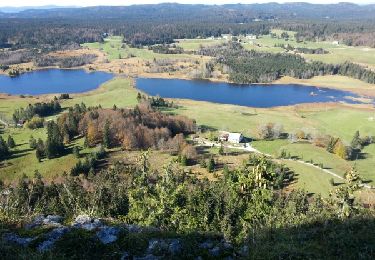
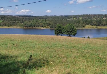
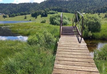
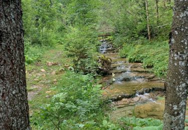
Trail Snowshoes of 5.1 km to be discovered at Bourgogne-Franche-Comté, Jura, Morbier. This trail is proposed by Genisset.
Positioning
Country:
France
Region :
Bourgogne-Franche-Comté
Department/Province :
Jura
Municipality :
Morbier
Location:
Unknown
Start:(Dec)
Start:(UTM)
274797 ; 5163394 (32T) N.
Comments
Trails nearby
roche Bernard
Walking
Medium
(1)
Chapelle-des-Bois,
Bourgogne-Franche-Comté,
Doubs,
France
4h 33min
Yes
ROCHE CHAMPION
Walking
Easy
(2)
Chapelle-des-Bois,
Bourgogne-Franche-Comté,
Doubs,
France
8.6 km | 13.6 km-effort
1h 50min
Yes
Lac de Bellefontaine er lac des Mortes .
Walking
Easy
Bellefontaine,
Bourgogne-Franche-Comté,
Jura,
France
9.5 km | 11.5 km-effort
2h 33min
Yes
Roche Champion et Bernard 11.7.24
Walking
Medium
Chapelle-des-Bois,
Bourgogne-Franche-Comté,
Doubs,
France
11.5 km | 16.6 km-effort
3h 45min
Yes
Pichonnier-Peraillet- village par l'Évalude
Walking
Difficult
Bellefontaine,
Bourgogne-Franche-Comté,
Jura,
France
5.4 km | 7.5 km-effort
1h 53min
Yes
Risoux
Hybrid bike
Very easy
(1)
Chapelle-des-Bois,
Bourgogne-Franche-Comté,
Doubs,
France
21 km | 27 km-effort
2h 0min
No
Chapelle 6.5 km 20240114
Snowshoes
Very easy
(1)
Chapelle-des-Bois,
Bourgogne-Franche-Comté,
Doubs,
France
6.5 km | 8.5 km-effort
1h 36min
Yes
Des lacs de Bellefontaine vers le belvédère de la roche Bernard.
Walking
Difficult
Bellefontaine,
Bourgogne-Franche-Comté,
Jura,
France
5.8 km | 8.7 km-effort
1h 53min
Yes
Autour de la citadelle.
Walking
Easy
Bellefontaine,
Bourgogne-Franche-Comté,
Jura,
France
3.8 km | 5 km-effort
1h 4min
Yes