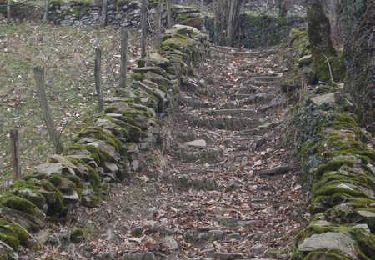
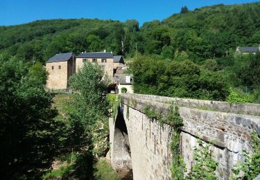
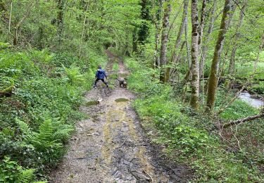
8.4 km | 12.6 km-effort
viaur
bouscaillou
User
Length
2.3 km
Max alt
608 m
Uphill gradient
166 m
Km-Effort
4 km
Min alt
442 m
Downhill gradient
15 m
Boucle
No
Creation date :
2020-11-29 15:32:21.102
Updated on :
2020-11-29 16:31:11.286
58m
Difficulty : Very easy
FREE GPS app for hiking
About
Trail Walking of 2.3 km to be discovered at Occitania, Aveyron, Cassagnes-Bégonhès. This trail is proposed by bouscaillou.
Positioning
Country:
France
Region :
Occitania
Department/Province :
Aveyron
Municipality :
Cassagnes-Bégonhès
Location:
Unknown
Start:(Dec)
Start:(UTM)
460494 ; 4895341 (31T) N.
Comments
Trails nearby
Ste Juliette sur Viaur - Vallée du Viaur
Walking
Medium
Sainte-Juliette-sur-Viaur,
Occitania,
Aveyron,
France
3h 30min
Yes
Manhac, au coeur du Ségala
Walking
Medium
(1)
Manhac,
Occitania,
Aveyron,
France
11.3 km | 16.1 km-effort
3h 0min
Yes
Abbaye de Bonnecombe via Comps La Grand Ville
Walking
Very difficult
Comps-la-Grand-Ville,
Occitania,
Aveyron,
France
21 km | 27 km-effort
6h 18min
Yes
camboulazet 3
Walking
Difficult
Camboulazet,
Occitania,
Aveyron,
France
11.1 km | 15.1 km-effort
3h 26min
Yes
Le ruisseau en botte
Walking
Easy
Camboulazet,
Occitania,
Aveyron,
France
4.1 km | 5.4 km-effort
1h 32min
No
Pont de Grandfuel - Versailles
sport
Very easy
Comps-la-Grand-Ville,
Occitania,
Aveyron,
France
13.9 km | 18.8 km-effort
Unknown
No
st Juliette
Walking
Very difficult
Sainte-Juliette-sur-Viaur,
Occitania,
Aveyron,
France
13.6 km | 21 km-effort
4h 22min
Yes
rieupeyroux 2018
Motor
Very easy
Calmont,
Occitania,
Aveyron,
France
93 km | 129 km-effort
2h 30min
No
rieupeyroux 2018
Motor
Very easy
Calmont,
Occitania,
Aveyron,
France
93 km | 129 km-effort
2h 30min
No