


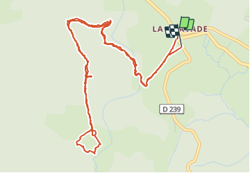

17 km | 23 km-effort

User


FREE GPS app for hiking
 SityTrail
IGN / Geographical institutes
SityTrail World
The world is yours!
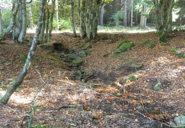
Trail Walking of 7.8 km to be discovered at Auvergne-Rhône-Alpes, Ardèche, Astet. This trail is proposed by Lustou.
29/11/2020
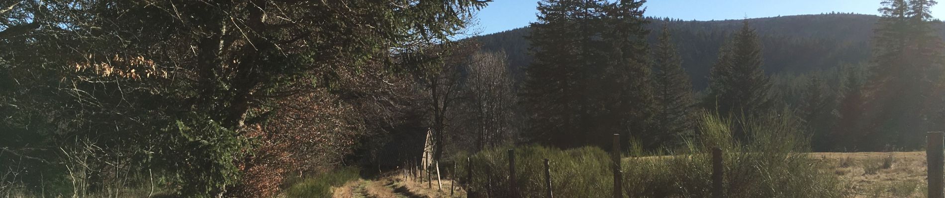
Nous n'avons pas trouvé de sentier au delà de la ferme de La Resse retour par le chemin de l'aller. Pour regagnier la piste à la ferme de La mourade, il fallait traverser l'Espézonnette.


Walking
Walking
Walking
Walking
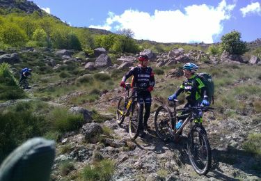
Mountain bike
Walking
Walking
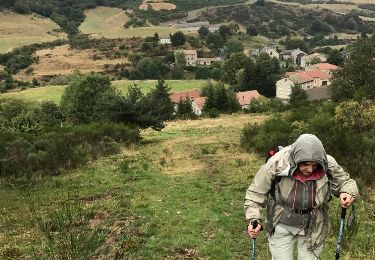
Walking
Equestrian