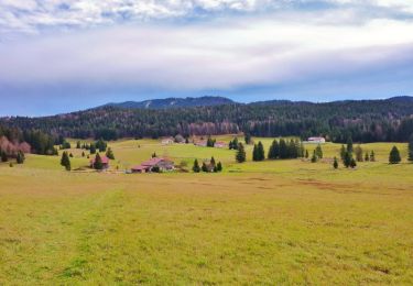
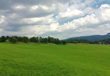
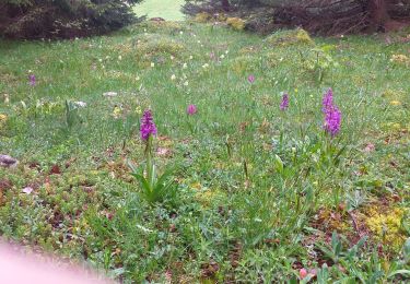
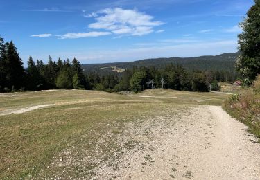
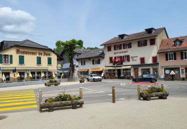
Trail Walking Gex - LA FAUCILLE : le Belvédère du Turet  et le canyon du Turet - Photo

LA FAUCILLE : le Belvédère du Turet et le canyon du Turet

 otgex
otgex

User

© OpenStreetMap contributors
Length
Length
2.7 km
Max alt
Max alt
1416 m
Uphill gradient
Uphill gradient
115 m
Km-Effort
Km-Effort  
4.2 km
Min alt
Min alt
1329 m
Downhill gradient
Downhill gradient
78 m
Boucle
Boucle
No
Creation date :
2014-12-11 00:00:00.0
Updated on :
2014-12-11 00:00:00.0

(0 Reviews)

Walking
Walking
1h30
Difficulty : Unknown

Scan this QR Code to open this trail in the SityTrail application

FREE GPS app for hiking

Logo SityTrail SityTrail

IGN / Geographical institutes

Download SityTrail from the App Store Download SityTrail from Google Play

Logo SityTrail SityTrail World

The world is yours!

Download SityTrail from the App Store Download SityTrail from Google Play Download SityTrail on Huawei AppGallery

About

Trail Walking of 2.7 km to be discovered at Auvergne-Rhône-Alpes, Ain, Gex. This trail is proposed by otgex.

Description

A) le Belvédère du Turet :
départ du Col de la Faucille, au bord de la route Départementale 1005, en face de l''Hôtel "La Couronne", prendre le large chemin à côté du panneau routier "col de la Faucille"(1); au carrefour, prendre le sentier GR9, sur la gauche indiqué "Le Turet Gex" (2). Ne pas prendre le sentier balisé en jaune indiqué "Le Turet par le Col du Goléron".

Poursuivre sur le GR9 jusqu''à la jonction d''une route forestière goudronnée (à 15 minutes du départ) (3). Prendre cette route sur la droite en suivant le balisage "Le Turet - Gex". Passez devant le chalet forestier.

Peu après, quittez la route pour le sentier qui rejoint la route goudronnée. Poursuivre sur la route goudronnée (sens montée) sur environ 200 mètres. Prendre ensuite sur la droite une large piste herbeuse /terre puis caillouteuse (4). Traversez une jolie clairière. Suivez le balisage "Le Turet - Gex". Arrivée sur un plateau, vous passerez devant une petite croix en béton.

Continuez le sentier qui redescend sur environ 300 mètres jusqu''à arriver au point de vue. Un banc en bois y est installé afin d''admirer la vue (côté Alpes) et s''y reposer. Ne vous approchez pas trop du précipice!

Pour le retour : même itinéraire jusqu''au départ.      

B) le Canyon du Turet :
même itinéraire que ci-dessus jusqu''au point (3), prendre le sentier balisé du GR9 "La Vattay - La Dôle" (blanc/rouge) perpendiculaire à la route goudronnée. En une dizaine de minutes, vous atteindrez le canyon, par où passe le GR9, en direction du Nord. Retournez ensuite au point n° 3 en empruntant le même chemin qu''à l''aller et reprenez le même itinéraire pour le retour jusqu''au col de la Faucille.

Elevation profile

Points of interest

Point of interest Gex - 1) - Photo
otgex
GEX 
Point of interest Gex - 4) - Photo
otgex
GEX 
Point of interest Gex - 3) - Photo
otgex
GEX 
Point of interest Gex - panorama - Photo
otgex
Point of interest Gex - 2) - Photo
otgex
GEX 

Positioning

Country:
France
Region :
Auvergne-Rhône-Alpes
Department/Province :
Ain
Municipality :
Gex
Location:
Unknown
Start:(UTM)
270797 ; 5139349 (32T) N.

Trails nearby

Trail Walking Lamoura - Tresberruy - Lamoura - Photo
Walking
tracegps

Walking

Difficult
(1)
Lamoura, Bourgogne-Franche-Comté, Jura, France
14.5 km | 20 km-effort
4h 0min
Yes
Trail Cycle Lajoux - 2023-08-18_15h23m20_lamoura - Photo
Cycle
daniellebou

Cycle

Very easy
(1)
Lajoux, Bourgogne-Franche-Comté, Jura, France
21 km | 26 km-effort
Unknown
Yes
Trail Running Mijoux - UTTJ 2015-2 - Photo
Running
bourel.jacques

Running

Very difficult
(1)
Mijoux, Auvergne-Rhône-Alpes, Ain, France
57 km | 92 km-effort
18h 13min
No
Trail Walking Lamoura - lamoura neige et plein air - Photo
Walking
Nicolesophie08

Walking

Difficult
Lamoura, Bourgogne-Franche-Comté, Jura, France
6.8 km | 9.5 km-effort
2h 25min
Yes
Trail Walking Lamoura - neige et plein air lamoura - Photo
Walking
Nicolesophie08

Walking

Medium
Lamoura, Bourgogne-Franche-Comté, Jura, France
6.8 km | 9.3 km-effort
2h 54min
Yes
Trail Walking Lajoux - Le crêt de la vigoureuse (le vrai) - Photo
Walking
GUIDE
stef789

Walking

Easy
Lajoux, Bourgogne-Franche-Comté, Jura, France
10.4 km | 13.4 km-effort
4h 9min
Yes
Trail Walking Lajoux - crêt vigoureuse - Photo
Walking
eltonnermou

Walking

Medium
Lajoux, Bourgogne-Franche-Comté, Jura, France
12.3 km | 16.8 km-effort
5h 0min
Yes
Trail Walking Gex - Balade à Col de la Faucille, Gex - Photo
Walking
Gaiato

Walking

Very difficult
Gex, Auvergne-Rhône-Alpes, Ain, France
86 km | 135 km-effort
9h 23min
No
Trail Bicycle tourism Mijoux - LES ROUSSES - COL DE LA FAUCILLE  - Photo
Bicycle tourism
jean-marie.parachini

Bicycle tourism

Very difficult
Mijoux, Auvergne-Rhône-Alpes, Ain, France
54 km | 68 km-effort
4h 57min
No


Close
My subscriptions