


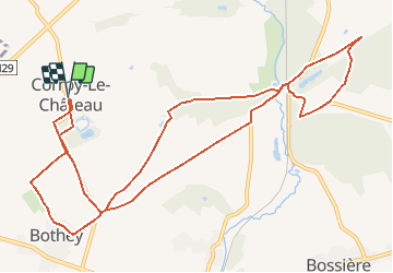

12.9 km | 15.4 km-effort


User


FREE GPS app for hiking
 SityTrail
IGN / Geographical institutes
SityTrail World
The world is yours!
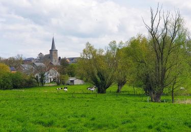
Trail On foot of 12.2 km to be discovered at Wallonia, Namur, Gembloux. This trail is proposed by polodellico.
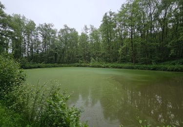
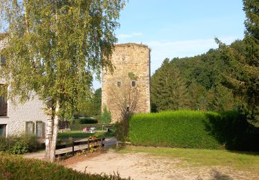
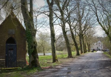
promenade autour de Corroy mmm 23112020. Parcours béton au départ longeant le château jusqu'à un croisement avec une chapelle , cela dans dans le but d'englober le maximum de sentiers dans le promenade
Walking
Walking

Walking
Walking
Walking
Walking
Walking
Walking
Walking