Trail Nordic walking Mettet - Mettet, de St Gérard au Chemin des Fermes - Photo

Mettet, de St Gérard au Chemin des Fermes

 jgo
jgo

User

© OpenStreetMap contributors
Length
Length
6.9 km
Max alt
Max alt
256 m
Uphill gradient
Uphill gradient
92 m
Km-Effort
Km-Effort  
8.1 km
Min alt
Min alt
209 m
Downhill gradient
Downhill gradient
93 m
Boucle
Boucle
Yes
Creation date :
2020-11-22 09:17:13.36
Updated on :
2020-11-22 16:08:16.382

(0 Reviews)

Nordic walking
Nordic walking
--
Difficulty : Very easy

Scan this QR Code to open this trail in the SityTrail application

FREE GPS app for hiking

Logo SityTrail SityTrail

IGN / Geographical institutes

Download SityTrail from the App Store Download SityTrail from Google Play

Logo SityTrail SityTrail World

The world is yours!

Download SityTrail from the App Store Download SityTrail from Google Play Download SityTrail on Huawei AppGallery

About

Trail Nordic walking of 6.9 km to be discovered at Wallonia, Namur, Mettet. This trail is proposed by jgo.

Description

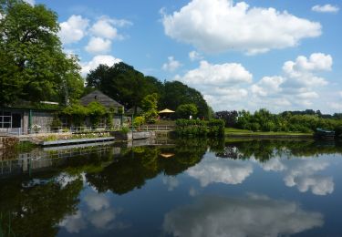
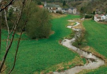
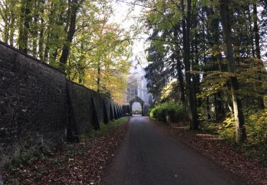
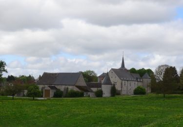
Au départ de la place de Brogne à Saint-Gérard, parcours dans les campagnes et retour par l'arrière de l'abbaye de Brogne

Elevation profile

Positioning

Country:
Belgium
Region :
Wallonia
Department/Province :
Namur
Municipality :
Mettet
Location:
Saint-Gérard
Start:(UTM)
623806 ; 5578524 (31U) N.

Trails nearby

Trail Walking Anhée - RB-Na-22-raccourci_Vignobles-et-Jardins-d’eau - Photo
Walking
PRO

Walking

Very difficult
(6)
Anhée, Wallonia, Namur, Belgium
16.7 km | 21 km-effort
4h 52min
Yes
Trail Walking Anhée - RB-Na-22_Vignobles-et-Jardins-d’eau - Photo
Walking
PRO

Walking

Very difficult
(11)
Anhée, Wallonia, Namur, Belgium
19.5 km | 25 km-effort
5h 46min
Yes
Trail Walking Fosses-la-Ville - Circuit de Belle Eau 2- - Photo
Walking
GUIDE+

Walking

Medium
(8)
Fosses-la-Ville, Wallonia, Namur, Belgium
12 km | 14.2 km-effort
3h 4min
Yes
Trail Walking Anhée - RB-Na-16 - Paysages de la Molignée - Photo
Walking
PRO

Walking

Medium
(19)
Anhée, Wallonia, Namur, Belgium
18.3 km | 24 km-effort
5h 13min
Yes
Trail Walking Anhée - RB-Na-16 Raccourci - Paysages de la Molignée - Photo
Walking
PRO

Walking

Easy
(17)
Anhée, Wallonia, Namur, Belgium
13 km | 16.6 km-effort
3h 40min
Yes
Trail Walking Anhée - Balade de l'abbaye de Maredsous à Ermeton-sur-Biert - Photo
Walking
GUIDE
Desrumaux

Walking

Easy
(4)
Anhée, Wallonia, Namur, Belgium
9.2 km | 11.9 km-effort
2h 32min
Yes
Trail Walking Anhée - Balade à Denée - Photo
Walking
GUIDE
Desrumaux

Walking

Very easy
(1)
Anhée, Wallonia, Namur, Belgium
5.8 km | 7.4 km-effort
1h 35min
Yes
Trail Walking Anhée - MAREDSOUS ... par l'Abbaye de Maredret et la campagne de Bonsin. - Photo
Walking
GerardBouche

Walking

Easy
(1)
Anhée, Wallonia, Namur, Belgium
9.3 km | 12.3 km-effort
2h 0min
Yes
Trail Walking Anhée - BIOUL ... par le Gros Bois de Warnant et la vallée de la Molignée. - Photo
Walking
GerardBouche

Walking

Easy
(3)
Anhée, Wallonia, Namur, Belgium
11.3 km | 14.7 km-effort
3h 8min
Yes


Close
My subscriptions