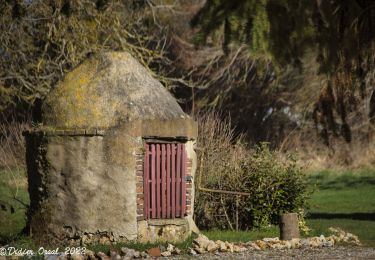
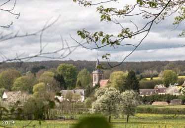
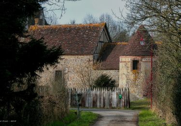
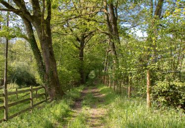
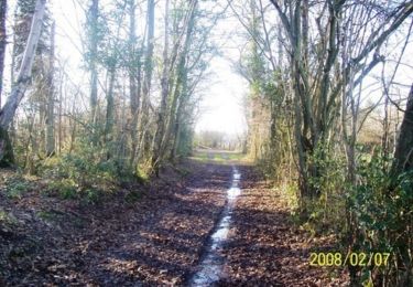
7.8 km | 9.2 km-effort
Tourouvre 6.3 Km
ODDAD78
User
Length
6.3 km
Max alt
319 m
Uphill gradient
90 m
Km-Effort
7.5 km
Min alt
251 m
Downhill gradient
88 m
Boucle
Yes
Creation date :
2019-04-13 16:35:55.493
Updated on :
2019-04-13 16:35:55.526
1h38
Difficulty : Easy
FREE GPS app for hiking
About
Trail Walking of 6.3 km to be discovered at Normandy, Orne, Tourouvre au Perche. This trail is proposed by ODDAD78.
Description
Le camp Saint Gilles Fiche 10
Positioning
Country:
France
Region :
Normandy
Department/Province :
Orne
Municipality :
Tourouvre au Perche
Location:
Unknown
Start:(Dec)
Start:(UTM)
326797 ; 5384620 (31U) N.
Comments
Trails nearby
[Itinéraire] Parcours de découverte de la Réserve de Bresolettes
Walking
Easy
Tourouvre au Perche,
Normandy,
Orne,
France
4.2 km | 4.8 km-effort
1h 5min
Yes
Traversées Percheronnes L'Home-Chamondot - La-Ferté-Vidame 20,4Km
Walking
Medium
L'Hôme-Chamondot,
Normandy,
Orne,
France
20 km | 23 km-effort
5h 2min
No
Traversées Percheronnes L'Home-Chamondot - Tourouvre 12,1Km
Walking
Medium
L'Hôme-Chamondot,
Normandy,
Orne,
France
12 km | 14.3 km-effort
3h 10min
No
Traversées Percheronnes L'Home-Chamondot - Monceaux-au-Perche 16,8km PROJET
Walking
Easy
L'Hôme-Chamondot,
Normandy,
Orne,
France
16.9 km | 20 km-effort
4h 24min
No
Bubertré - Lignerolles (Boucle)
Walking
Easy
(1)
Tourouvre au Perche,
Normandy,
Orne,
France
12.3 km | 15.2 km-effort
3h 0min
Yes
Bellegarde - Autheuil
Walking
Easy
(1)
Tourouvre au Perche,
Normandy,
Orne,
France
3.8 km | 4.8 km-effort
1h 19min
Yes
[Itinéraire] Les ruines du château de Gannes
Mountain bike
Difficult
Tourouvre au Perche,
Normandy,
Orne,
France
28 km | 34 km-effort
2h 20min
Yes
2024-02-24 Perche Trappe V du
Car
Tourouvre au Perche,
Normandy,
Orne,
France
38 km | 45 km-effort
4h 15min
No