13.7 km | 17.9 km-effort
Mezels
Gaillard Isabelle
User
Length
16.4 km
Max alt
322 m
Uphill gradient
352 m
Km-Effort
21 km
Min alt
148 m
Downhill gradient
353 m
Boucle
Yes
Creation date :
2020-11-10 07:47:12.0
Updated on :
2021-06-29 12:23:47.012
4h47
Difficulty : Easy
FREE GPS app for hiking
About
Trail On foot of 16.4 km to be discovered at Occitania, Lot, Vayrac. This trail is proposed by Gaillard Isabelle.
Description
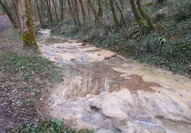
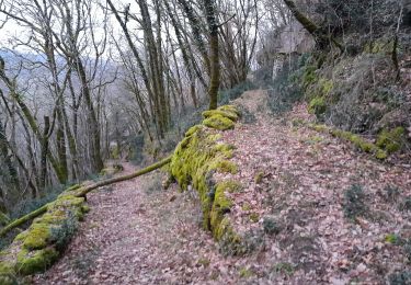
Belle balade
Positioning
Country:
France
Region :
Occitania
Department/Province :
Lot
Municipality :
Vayrac
Location:
Unknown
Start:(Dec)
Start:(UTM)
396676 ; 4976105 (31T) N.
Comments
Trails nearby
Vayrac- Puy d'Issolud
Walking
Difficult
Vayrac,
Occitania,
Lot,
France
12.9 km | 17.8 km-effort
4h 1min
Yes
Ruines de Taillefer
Walking
Very easy
Carennac,
Occitania,
Lot,
France
6.4 km | 8.2 km-effort
1h 54min
No
autour de Floirac
Walking
Very easy
Floirac,
Occitania,
Lot,
France
16.5 km | 22 km-effort
4h 7min
Yes
le caillon cirque de foirac
Walking
Very easy
Floirac,
Occitania,
Lot,
France
13.5 km | 18.8 km-effort
3h 13min
Yes
ruiné de taillefer
Walking
Easy
Carennac,
Occitania,
Lot,
France
10.9 km | 15.2 km-effort
2h 39min
Yes
La Via Arverna (Carennac - Rocamadour)
Walking
Difficult
Carennac,
Occitania,
Lot,
France
27 km | 36 km-effort
7h 45min
No
Vayrac par Uxelmodunum
Walking
Very easy
Saint-Denis-lès-Martel,
Occitania,
Lot,
France
15.7 km | 18.6 km-effort
3h 46min
Yes