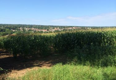
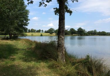
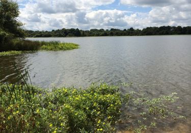
10.3 km | 12.1 km-effort
Availles Limouzinz/Civeaux
dporcher
User
Length
45 km
Max alt
195 m
Uphill gradient
525 m
Km-Effort
52 km
Min alt
69 m
Downhill gradient
578 m
Boucle
No
Creation date :
2020-11-09 18:30:59.4
Updated on :
2020-11-09 18:31:58.256
--
Difficulty : Very easy
FREE GPS app for hiking
About
Trail Bicycle tourism of 45 km to be discovered at New Aquitaine, Vienne, Availles-Limouzine. This trail is proposed by dporcher.
Positioning
Country:
France
Region :
New Aquitaine
Department/Province :
Vienne
Municipality :
Availles-Limouzine
Location:
Unknown
Start:(Dec)
Start:(UTM)
319320 ; 5110289 (31T) N.
Comments
Trails nearby
Chemin d'oc et oil nr10
Walking
Very easy
Availles-Limouzine,
New Aquitaine,
Vienne,
France
2h 19min
Yes
l'oc et d'oil nr9
Walking
Easy
Availles-Limouzine,
New Aquitaine,
Vienne,
France
3.9 km | 5 km-effort
54min
Yes
Le circuit
Cycle
Easy
Availles-Limouzine,
New Aquitaine,
Vienne,
France
23 km | 26 km-effort
2h 22min
Yes
Au bord de la Vienne
Walking
Difficult
Availles-Limouzine,
New Aquitaine,
Vienne,
France
12.9 km | 15.2 km-effort
1h 42min
Yes
Etang de Verrières
Cycle
Medium
Availles-Limouzine,
New Aquitaine,
Vienne,
France
9.5 km | 11.3 km-effort
38min
Yes
Étang de fondeube.gpx
Walking
Very easy
Availles-Limouzine,
New Aquitaine,
Vienne,
France
9.1 km | 10.4 km-effort
1h 31min
No