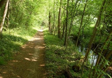
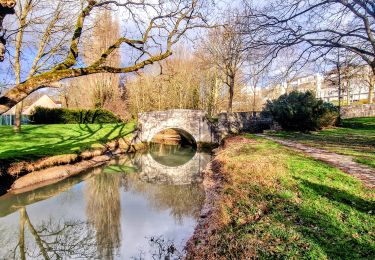
10.9 km | 14.7 km-effort
buchelay sortie club
olipim78
User
Length
41 km
Max alt
169 m
Uphill gradient
446 m
Km-Effort
47 km
Min alt
47 m
Downhill gradient
512 m
Boucle
No
Creation date :
2014-12-10 00:00:00.0
Updated on :
2014-12-10 00:00:00.0
3h31
Difficulty : Difficult
FREE GPS app for hiking
About
Trail Mountain bike of 41 km to be discovered at Ile-de-France, Yvelines, Buchelay. This trail is proposed by olipim78.
Positioning
Country:
France
Region :
Ile-de-France
Department/Province :
Yvelines
Municipality :
Buchelay
Location:
Unknown
Start:(Dec)
Start:(UTM)
402427 ; 5425134 (31U) N.
Comments
Trails nearby
La forêt de Rosny - Apremont
Walking
Difficult
(1)
Perdreauville,
Ile-de-France,
Yvelines,
France
18.4 km | 24 km-effort
4h 30min
Yes
Les lavoirs du Mantois - Version étendue
Walking
Medium
Vert,
Ile-de-France,
Yvelines,
France
23 km | 29 km-effort
5h 15min
No
mantelavilloise 2013 40km
Mountain bike
Difficult
(2)
Mantes-la-Ville,
Ile-de-France,
Yvelines,
France
41 km | 52 km-effort
4h 50min
Yes
guernes port de l'ilon
Walking
Very easy
(2)
Guernes,
Ile-de-France,
Yvelines,
France
12.5 km | 13.5 km-effort
2h 48min
Yes
ile l Aumône 10/06/2016
Nordic walking
Easy
Mantes-la-Jolie,
Ile-de-France,
Yvelines,
France
8.3 km | 9.1 km-effort
2h 20min
Yes
Mantes la Jolie - Mantes centre
Walking
Difficult
Mantes-la-Jolie,
Ile-de-France,
Yvelines,
France
30 km | 38 km-effort
5h 29min
No
Lavoirs de Guerville
Walking
Easy
Guerville,
Ile-de-France,
Yvelines,
France
10.4 km | 13.7 km-effort
2h 33min
Yes