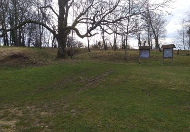
Trail Walking Beure - jourande, chapelle buis, fort de fontain - Photo

jourande, chapelle buis, fort de fontain

© OpenStreetMap contributors
Length
Length
13.3 km
Max alt
Max alt
504 m
Uphill gradient
Uphill gradient
419 m
Km-Effort
Km-Effort  
18.8 km
Min alt
Min alt
239 m
Downhill gradient
Downhill gradient
408 m
Boucle
Boucle
Yes
Creation date :
2020-11-06 08:57:10.061
Updated on :
2022-03-12 19:22:04.129

(0 Reviews)

Walking
Walking
2h07
Difficulty : Medium

Scan this QR Code to open this trail in the SityTrail application

FREE GPS app for hiking

Logo SityTrail SityTrail
IGN / Geographical institutes

Download SityTrail from the App Store Download SityTrail from Google Play

Logo SityTrail SityTrail World
The world is yours!

Download SityTrail from the App Store Download SityTrail from Google Play Download SityTrail on Huawei AppGallery

About

Trail Walking of 13.3 km to be discovered at Bourgogne-Franche-Comté, Doubs, Beure. This trail is proposed by eltonnermou.

Description

parking salle des fêtes  de Beure ; sortie du parking à gauche pour rejoindre le tracé (50m).
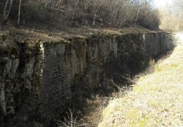
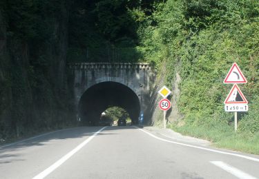
ATTENTION : le niveau de difficulté de cette randonnée est moyen, MAIS sur une longueur d'environ 150m le parcours (sur le début) est très difficile, pour les connaisseurs du site possibilité d'éviter ce secteur. (voir randonnée 2375815 : grand tour pisseur .... sommière, en haut sommière prendre à gauche dir ferme jourande).
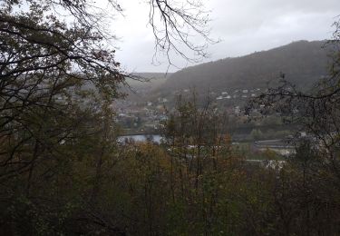
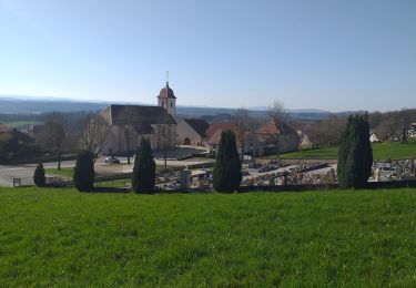
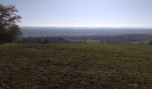
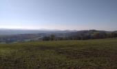
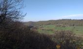
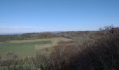
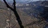
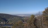
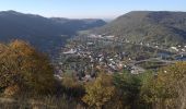
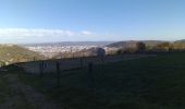
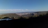
Le parcours surplombe la rivière et offre en de nombreux endroits de superbes vues sur Beure, Besançon, le fort de chaudanne de la citadelle ; puis sur la fin du parcours sur les monts du Haut Doubs.
vous surprendrez certainement des chamois, fort nombreux sur les escarpements du secteur. Au printemps vous pourrez admirer la variété d'une flore abondante.

Elevation profile

Photos

Points of interest

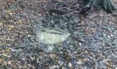
Point of interest Besançon - danger - Photo
eltonnermou
BESANÇON 

Positioning

Country:
France
Region :
Bourgogne-Franche-Comté
Department/Province :
Doubs
Municipality :
Beure
Location:
Unknown
Start:(UTM)
273609 ; 5232367 (32T) N.

Trails nearby

Trail Walking Beure - Beure de la pisseur au mercureau  - Photo
Walking
eltonnermou

Walking

Difficult
(1)
Beure, Bourgogne-Franche-Comté, Doubs, France
16.8 km | 24 km-effort
3h 48min
Yes
Trail Walking Beure -
Walking
eltonnermou

Walking

Medium
(1)
Beure, Bourgogne-Franche-Comté, Doubs, France
15.7 km | 22 km-effort
6h 35min
Yes
Trail Walking Montfaucon - Du chateau au fort de Monfaucon - Photo
Walking
yew

Walking

Easy
(1)
Montfaucon, Bourgogne-Franche-Comté, Doubs, France
6.9 km | 9.3 km-effort
1h 55min
Yes
Trail Walking Fontain - fontain - fort de Fontain - forêt de Fontain - Photo
Walking
eltonnermou

Walking

Very easy
(1)
Fontain, Bourgogne-Franche-Comté, Doubs, France
10.9 km | 14 km-effort
3h 11min
Yes
Trail On foot Fontain - Grande Boucle de Fontain - Photo
On foot
GUIDE+

On foot

Easy
Fontain, Bourgogne-Franche-Comté, Doubs, France
10 km | 13.2 km-effort
2h 59min
Yes
Trail On foot Morre - Sentier des Buis - Photo
On foot
GUIDE+

On foot

Easy
Morre, Bourgogne-Franche-Comté, Doubs, France
6.4 km | 9 km-effort
2h 2min
Yes
Trail On foot Fontain - Sentier des Grands Prés - Photo
On foot
GUIDE+

On foot

Easy
Fontain, Bourgogne-Franche-Comté, Doubs, France
6.6 km | 9.6 km-effort
2h 10min
Yes
Trail On foot Besançon - Circuit de Planoise - Photo
On foot
GUIDE+

On foot

Easy
Besançon, Bourgogne-Franche-Comté, Doubs, France
4.6 km | 7.6 km-effort
1h 43min
Yes
Trail On foot Besançon - Circuit du Fort de Chaudanne - Photo
On foot
GUIDE+

On foot

Easy
Besançon, Bourgogne-Franche-Comté, Doubs, France
6 km | 8.7 km-effort
1h 59min
Yes


Close
My subscriptions