48 km | 54 km-effort
boucle croismare
vathi54
User
Length
12.1 km
Max alt
299 m
Uphill gradient
147 m
Km-Effort
14.1 km
Min alt
224 m
Downhill gradient
147 m
Boucle
Yes
Creation date :
2014-12-10 00:00:00.0
Updated on :
2014-12-10 00:00:00.0
2h00
Difficulty : Unknown
FREE GPS app for hiking
About
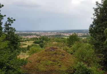
Trail Mountain bike of 12.1 km to be discovered at Grand Est, Meurthe-et-Moselle, Croismare. This trail is proposed by vathi54.
Positioning
Country:
France
Region :
Grand Est
Department/Province :
Meurthe-et-Moselle
Municipality :
Croismare
Location:
Unknown
Start:(Dec)
Start:(UTM)
321076 ; 5385758 (32U) N.
Comments
Trails nearby
sortie VTT du 30072019 Le haut de la Coyes
Mountain bike
Medium
Croismare,
Grand Est,
Meurthe-et-Moselle,
France
2h 24min
Yes
sortie vtt 07092023
Electric bike
Very easy
Jolivet,
Grand Est,
Meurthe-et-Moselle,
France
22 km | 24 km-effort
1h 3min
No
Bois de Bonviller
Walking
Medium
Sionviller,
Grand Est,
Meurthe-et-Moselle,
France
5 km | 6 km-effort
1h 22min
Yes
Audax Thiebaumenil Premiere boucle
Walking
Very difficult
Thiébauménil,
Grand Est,
Meurthe-et-Moselle,
France
26 km | 29 km-effort
4h 21min
Yes
AUDAX Thiébauménil
Walking
Very difficult
Thiébauménil,
Grand Est,
Meurthe-et-Moselle,
France
26 km | 29 km-effort
4h 10min
Yes
Circuit des Fermes
Walking
Easy
Chanteheux,
Grand Est,
Meurthe-et-Moselle,
France
10.6 km | 12.1 km-effort
2h 44min
Yes
pn
Horseback riding
Medium
Moncel-lès-Lunéville,
Grand Est,
Meurthe-et-Moselle,
France
19.9 km | 23 km-effort
3h 3min
Yes
Randonnée de fin d'année Equiplaine à Thiebauménil 18/10/2020
Horseback riding
Very easy
Thiébauménil,
Grand Est,
Meurthe-et-Moselle,
France
15.9 km | 18.2 km-effort
2h 24min
Yes
jacques
Horseback riding
Very easy
Thiébauménil,
Grand Est,
Meurthe-et-Moselle,
France
14 km | 15.7 km-effort
2h 4min
Yes