


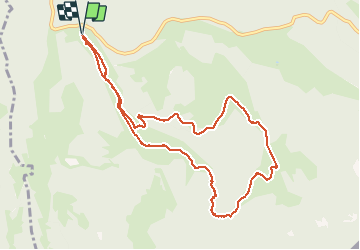

9.1 km | 12.5 km-effort


User


FREE GPS app for hiking
 SityTrail
IGN / Geographical institutes
SityTrail World
The world is yours!
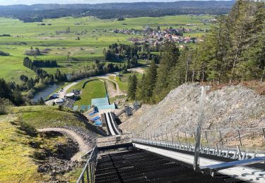
Trail Snowshoes of 10.4 km to be discovered at Bourgogne-Franche-Comté, Doubs, Mouthe. This trail is proposed by albert39.
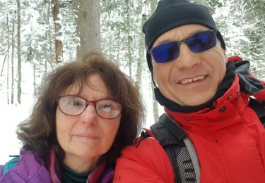
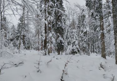
Séjour Mouthe 20/03, après midi ensoleillée, casse croûte et départ Chez Liadet, la Bâtie dessus, côte 1280, les Cailles, ferme Ravier, ferme Chez le Soldat, retour le Bâtie dessous et le Gîte chez Liadet.
Walking

Walking
Walking
On foot
Walking
Walking
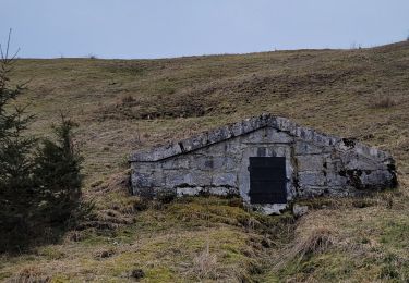
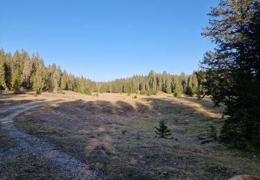
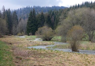
Snowshoes

Snowshoes
Snowshoes