


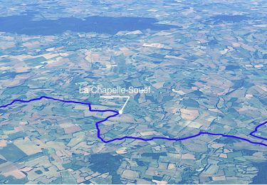
9.3 km | 11.8 km-effort


User


FREE GPS app for hiking
 SityTrail
IGN / Geographical institutes
SityTrail World
The world is yours!
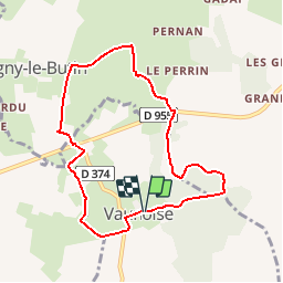
Trail Walking of 7.6 km to be discovered at Normandy, Orne, Vaunoise. This trail is proposed by ODDAD78.
D'après le circuit N°13
Peut-on passer par "le pavillon" ?
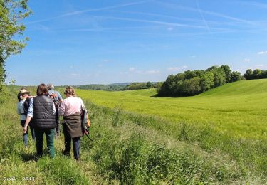
Walking

Walking
Walking

Walking
Walking
Walking

Walking

Walking
Walking