

Appenai-sous-Bellême Les Houles Blanches 7Km (Variante longue)

ODDAD78
User

Length
7 km

Max alt
201 m

Uphill gradient
105 m

Km-Effort
8.4 km

Min alt
144 m

Downhill gradient
105 m
Boucle
Yes
Creation date :
2019-04-13 16:36:10.063
Updated on :
2023-08-11 12:42:00.372
1h53
Difficulty : Medium

FREE GPS app for hiking
About
Trail Walking of 7 km to be discovered at Normandy, Orne, Appenai-sous-Bellême. This trail is proposed by ODDAD78.
Description
Ce circuit est une variante un peu plus longue du PR (balisé en jaune) des Houles blanches. Il vous conduira vers la réserve naturelle des Houles blanches : creux calcaire à la flore remarquable.
Positioning
Country:
France
Region :
Normandy
Department/Province :
Orne
Municipality :
Appenai-sous-Bellême
Location:
Unknown
Start:(Dec)
Start:(UTM)
319105 ; 5357469 (31U) N.
Comments
Trails nearby
La Bell'Rando 2005


Mountain bike
Very difficult
(1)
Bellême,
Normandy,
Orne,
France

50 km | 64 km-effort
3h 15min
Yes

La Chapelle Souef - Les Feugerets 12 Km


Walking
Medium
(1)
La Chapelle-Souëf,
Normandy,
Orne,
France

12 km | 14.1 km-effort
3h 6min
Yes

de belleme a l'etang de la herse


Walking
Difficult
Bellême,
Normandy,
Orne,
France

11 km | 13.9 km-effort
3h 10min
Yes
Chêne séculaire


On foot
Easy
Saint-Martin-du-Vieux-Bellême,
Normandy,
Orne,
France

9.2 km | 11.8 km-effort
2h 40min
No
circuit des vallées bellemoises


Electric bike
Easy
Bellême,
Normandy,
Orne,
France

44 km | 52 km-effort
4h 48min
Yes
Bellême - Mortagne-au-Perche 23 km


Walking
Very difficult
Bellême,
Normandy,
Orne,
France

23 km | 27 km-effort
6h 17min
No
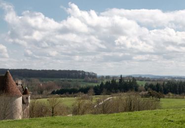
Bellême - Nocé/Courboyer 17 km


Walking
Easy
Bellême,
Normandy,
Orne,
France

16.6 km | 20 km-effort
3h 24min
No
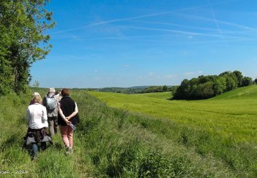
Traversées Percheronnes Bellême - Gémages 15,4 Km


Walking
Medium
Bellême,
Normandy,
Orne,
France

15.4 km | 17.6 km-effort
4h 2min
No
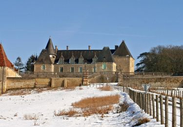
Traversées Percheronnes Igé - Sainte-Gauburge Via Appenai-sous-Bellême 20,5 Km


Walking
Medium
Igé,
Normandy,
Orne,
France

20 km | 24 km-effort
5h 18min
No


 SityTrail


