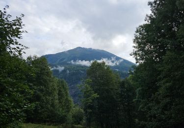
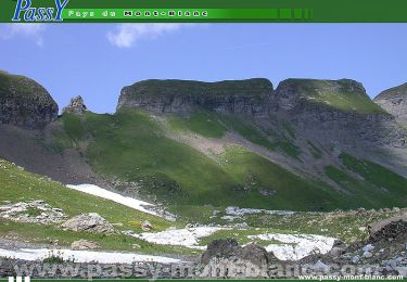
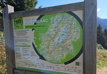
7.3 km | 11.4 km-effort
col de la forclaz
bubufred
User
Length
5.9 km
Max alt
1569 m
Uphill gradient
385 m
Km-Effort
11.1 km
Min alt
1174 m
Downhill gradient
386 m
Boucle
Yes
Creation date :
2020-10-27 10:07:02.207
Updated on :
2020-10-27 13:03:49.789
2h15
Difficulty : Very easy
FREE GPS app for hiking
About
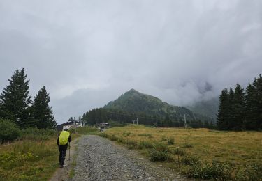
Trail Walking of 5.9 km to be discovered at Auvergne-Rhône-Alpes, Upper Savoy, Passy. This trail is proposed by bubufred.
Positioning
Country:
France
Region :
Auvergne-Rhône-Alpes
Department/Province :
Upper Savoy
Municipality :
Passy
Location:
Unknown
Start:(Dec)
Start:(UTM)
323753 ; 5085670 (32T) N.
Comments
Trails nearby
J4 - Les Chavants - Charousse - Vaudagne
Walking
Medium
(1)
Les Houches,
Auvergne-Rhône-Alpes,
Upper Savoy,
France
2h 10min
Yes
Tour de la chaine des Fiz par le passage du Dérochoir
Walking
Very difficult
(2)
Passy,
Auvergne-Rhône-Alpes,
Upper Savoy,
France
47 km | 90 km-effort
18h 0min
Yes
grimpe de chedde ayeres
Running
Very easy
(1)
Passy,
Auvergne-Rhône-Alpes,
Upper Savoy,
France
15 km | 28 km-effort
2h 46min
No
Chalets de Charlousse
Walking
Easy
(2)
Les Houches,
Auvergne-Rhône-Alpes,
Upper Savoy,
France
9.2 km | 14.1 km-effort
2h 28min
Yes
J21 - R20 - La Fontaine - La Tour St Michel
Walking
Medium
Les Houches,
Auvergne-Rhône-Alpes,
Upper Savoy,
France
5 km | 6.3 km-effort
1h 22min
Yes
J15 - R14 - Bellevue - Col de Voza - Bionnassay - Le Planet - L'Are
Walking
Difficult
Saint-Gervais-les-Bains,
Auvergne-Rhône-Alpes,
Upper Savoy,
France
8.2 km | 14.5 km-effort
2h 32min
Yes
J8 - Grand Balcon Nord : Prarion - Bellevue
Walking
Medium
Saint-Gervais-les-Bains,
Auvergne-Rhône-Alpes,
Upper Savoy,
France
3.5 km | 5.8 km-effort
1h 23min
No
J6 - Servoz - La Cote - La Gouille du Bë
Walking
Medium
Les Houches,
Auvergne-Rhône-Alpes,
Upper Savoy,
France
7.3 km | 11.4 km-effort
2h 13min
Yes
J3 - Les Chavants - Chamonix Centre
Walking
Easy
Les Houches,
Auvergne-Rhône-Alpes,
Upper Savoy,
France
10.9 km | 14.3 km-effort
2h 50min
No