


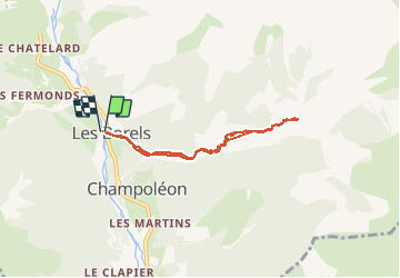

6.3 km | 9.9 km-effort

User


FREE GPS app for hiking
 SityTrail
IGN / Geographical institutes
SityTrail World
The world is yours!
Trail Walking of 6.4 km to be discovered at Provence-Alpes-Côte d'Azur, Hautes-Alpes, Champoléon. This trail is proposed by Dervalmarc.
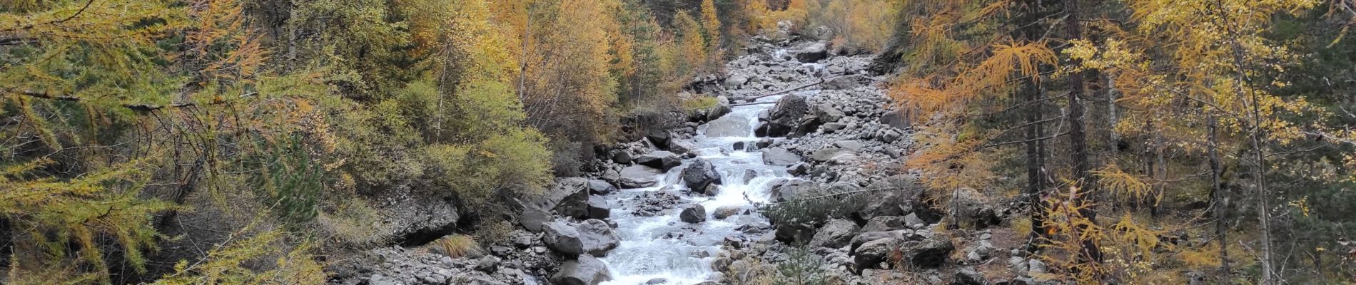
Retour vers le passé.
Témoignages d'un temps révolu ou nos anciens vivaient en symbiose au rythme des saisons et de la nature.
Randonnée au milieux très diversifié.
Bois de feuillus, cascade, village abandonné...


Walking

Walking

Walking

On foot

Walking

Walking

Walking

Touring skiing

Touring skiing