


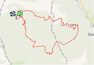

36 km | 48 km-effort

User


FREE GPS app for hiking
 SityTrail
IGN / Geographical institutes
SityTrail World
The world is yours!
Trail Walking of 15.2 km to be discovered at Occitania, Pyrénées-Orientales, Estoher. This trail is proposed by ThonyM.
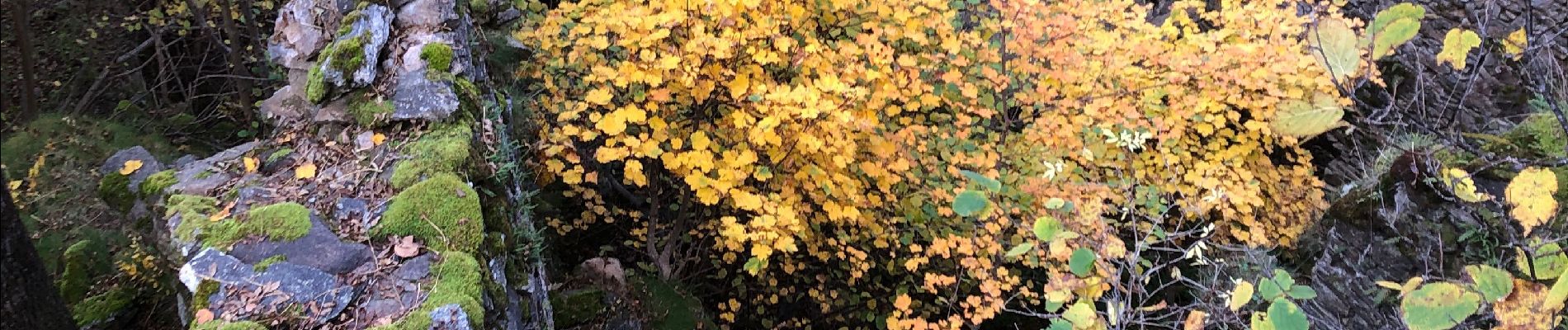
Un tres beau parcours . Magnifique en automne


Motor

Walking

Walking


sport
Walking

Walking

Walking

Walking

Walking