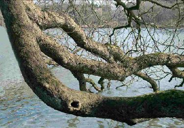
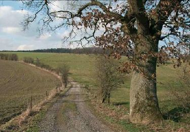
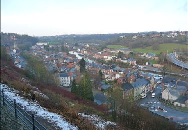
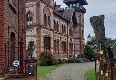
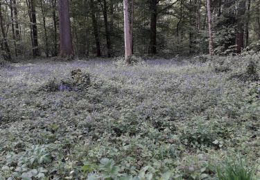
Trail  Thuin - 2020-10-25_14h56m58_Cirkwi-Route_UNESCO_-_Etape_4_de_Thuin_à_Charleroi - Photo

2020-10-25_14h56m58_Cirkwi-Route_UNESCO_-_Etape_4_de_Thuin_à_Charleroi

 Maca8284
Maca8284

User

© OpenStreetMap contributors
Length
Length
24 km
Max alt
Max alt
175 m
Uphill gradient
Uphill gradient
285 m
Km-Effort
Km-Effort  
28 km
Min alt
Min alt
95 m
Downhill gradient
Downhill gradient
304 m
Boucle
Boucle
No
Creation date :
2020-10-25 13:56:58.318
Updated on :
2020-10-25 13:56:59.41

(0 Reviews)


Scan this QR Code to open this trail in the SityTrail application

FREE GPS app for hiking

Logo SityTrail SityTrail

IGN / Geographical institutes

Download SityTrail from the App Store Download SityTrail from Google Play

Logo SityTrail SityTrail World

The world is yours!

Download SityTrail from the App Store Download SityTrail from Google Play Download SityTrail on Huawei AppGallery

About

Trail of 24 km to be discovered at Wallonia, Hainaut, Thuin. This trail is proposed by Maca8284.

Description

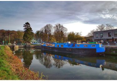
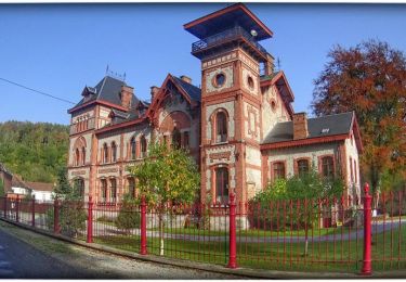
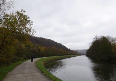
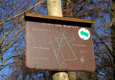
Dès le départ, l’ambiance est bucolique : la cité de Thuin s’étale harmonieusement en terrasse, vers la Sambre. Rejoignez-là et longez la rivière en empruntant le chemin de halage. La balade traverse les paysages boisés et campagnards de la magnifique région thudinienne. Lovée dans un écrin de verdure dans un méandre de la Sambre, voici l'Abbaye d’Aulne qui aurait été fondée au VIIe siècle par Landelin, un brigand repenti… En 1794, les troupes républicaines françaises et un grand nombre d’habitants saccagent l’abbaye : elle ne s’en remettra jamais. En arrivant depuis le RAVeL, les ruines impressionnent. Située dans l'enceinte de l'Abbaye d'Aulne, une petite brasserie artisanale vous propose un moment de découverte et de détente, en sirotant la bière de l’abbaye. L’itinéraire se poursuit ensuite à travers une région de caractère au passé industriel. De Landelies, vous longez la Sambre qui vous mène à Charleroi. Les témoins de l’ère industrielle se dressent encore dans le paysage…

Elevation profile

Positioning

Country:
Belgium
Region :
Wallonia
Department/Province :
Hainaut
Municipality :
Thuin
Location:
Thuin
Start:(Dec)
Start:(UTM)
591574 ; 5577424 (31U) N.

Trails nearby

Trail Walking Fontaine-l'Évêque - de l'Abbaye d'Aulne au hameau de Hourpes - Thuin - Photo
Walking
GUIDE
Desrumaux

Walking

Very easy
(2)
Fontaine-l'Évêque, Wallonia, Hainaut, Belgium
8.7 km | 10.9 km-effort
3h 16min
Yes
Trail Walking Thuin - La balade du Bois des Waibes. - Photo
Walking
GUIDE
Desrumaux

Walking

Easy
(4)
Thuin, Wallonia, Hainaut, Belgium
9.9 km | 12 km-effort
2h 41min
Yes
Trail Walking Montigny-le-Tilleul - Balade en Val de Sambre - De Landelies à l'Abbaye d'Aulne  - Photo
Walking
GUIDE
Desrumaux

Walking

Very easy
(1)
Montigny-le-Tilleul, Wallonia, Hainaut, Belgium
6.6 km | 8 km-effort
1h 49min
Yes
Trail Walking Lobbes - Balade à Mont-Sainte-Geneviève - Photo
Walking
GUIDE
Desrumaux

Walking

Very easy
(3)
Lobbes, Wallonia, Hainaut, Belgium
9.1 km | 10.4 km-effort
2h 18min
Yes
Trail Walking Thuin - RB-Ha-08 – Raccourci 1 - Tours et détours entre Beaumont et Barbençon - Photo
Walking
PRO

Walking

Very difficult
(2)
Thuin, Wallonia, Hainaut, Belgium
25 km | 32 km-effort
7h 12min
Yes
Trail Walking Thuin - RB-Ha-08 - Tours et détours entre Beaumont et Barbençon - Photo
Walking
PRO

Walking

Very difficult
(2)
Thuin, Wallonia, Hainaut, Belgium
22 km | 28 km-effort
6h 26min
Yes
Trail Walking Thuin - Thuin - De la Ville Haute à la Ville Basse - Photo
Walking
GUIDE
Desrumaux

Walking

Easy
(4)
Thuin, Wallonia, Hainaut, Belgium
4.5 km | 6.6 km-effort
1h 20min
Yes
Trail Walking Lobbes - LOBBES (vers Hourpes) dép RHS - Photo
Walking
ELISECRO

Walking

Medium
(1)
Lobbes, Wallonia, Hainaut, Belgium
7.2 km | 8.6 km-effort
2h 1min
Yes
Trail Walking Thuin - Ragnies  - Photo
Walking
ELISECRO

Walking

Very easy
(3)
Thuin, Wallonia, Hainaut, Belgium
6.6 km | 7.3 km-effort
1h 14min
Yes


Close
My subscriptions