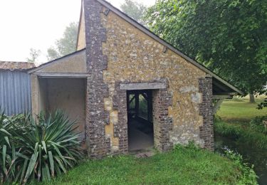
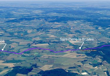
11.3 km | 13.2 km-effort
Preaux à Ste Gauburge 6.2 Km
ODDAD78
User
Length
6.2 km
Max alt
164 m
Uphill gradient
86 m
Km-Effort
7.2 km
Min alt
117 m
Downhill gradient
50 m
Boucle
No
Creation date :
2019-04-13 16:36:12.196
Updated on :
2019-04-13 16:36:12.23
1h36
Difficulty : Very easy
FREE GPS app for hiking
About
Trail Walking of 6.2 km to be discovered at Normandy, Orne, Perche en Nocé. This trail is proposed by ODDAD78.
Description
Prévoir navette auto ou bien revenir par Ste Gauburge - Préaux 5,6 Km
Total : 11,8 Km
Positioning
Country:
France
Region :
Normandy
Department/Province :
Orne
Municipality :
Perche en Nocé
Location:
Unknown
Start:(Dec)
Start:(UTM)
329721 ; 5355564 (31U) N.
Comments
Trails nearby
Préaux-du-Perche Sud
Walking
Medium
Perche en Nocé,
Normandy,
Orne,
France
7.9 km | 9.5 km-effort
2h 9min
Yes
SityTrail - Berd'huis - Condé-sur-Huisne 14 km
Walking
Difficult
Berd'huis,
Normandy,
Orne,
France
13.9 km | 16.7 km-effort
3h 37min
No
SityTrail - Berd'huis - Saint-Cyr-la-Rosière via Préaux-du-Perche 12 km
Walking
Very easy
Berd'huis,
Normandy,
Orne,
France
4.1 km | 4.9 km-effort
1h 0min
No
Au fil de la Rosière 7,1 Km
Walking
Medium
Saint-Cyr-la-Rosière,
Normandy,
Orne,
France
7.1 km | 8.7 km-effort
1h 57min
Yes
Nocé-Courboyer - Saint-Aubin-des-Grois 9,5 km
Walking
Easy
Perche en Nocé,
Normandy,
Orne,
France
9.5 km | 11.2 km-effort
2h 25min
No
Val d'Enfer 17Km
Walking
Medium
Perche en Nocé,
Normandy,
Orne,
France
16.7 km | 19.5 km-effort
4h 16min
Yes
Nobles logis (Préaux-du-Perche) 9,4Km
Walking
Easy
Perche en Nocé,
Normandy,
Orne,
France
9.3 km | 10.9 km-effort
2h 19min
Yes
Les Panoramas 5,5 Km
Walking
Very easy
Perche en Nocé,
Normandy,
Orne,
France
5.4 km | 6.5 km-effort
1h 15min
Yes