


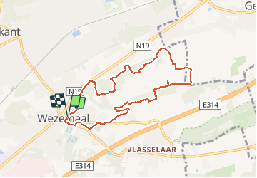

7.7 km | 8.8 km-effort


User


FREE GPS app for hiking
 SityTrail
IGN / Geographical institutes
SityTrail World
The world is yours!
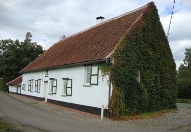
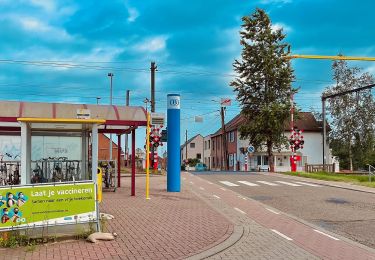
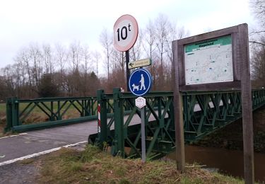
Trail Walking of 7.7 km to be discovered at Flanders, Flemish Brabant, Rotselaar. This trail is proposed by pitteke1.
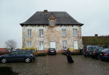
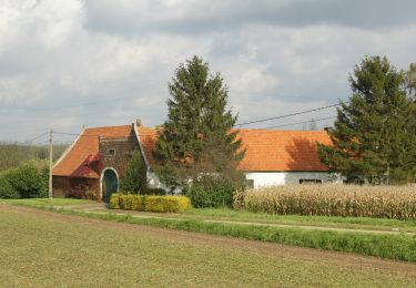
Très belle balade, très variée. Vignes, vergers, points de vue, différence marquée entre le flanc sud et le nord. Troupeau de moutons.
Excellent balisage (points noeuds).
Seul inconvénient : le bruit généré par l'autoroute E314 ! À faire un dimanche ?
Walking
On foot
On foot
On foot
On foot
On foot
On foot
On foot
On foot