


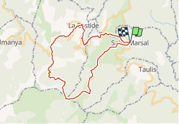

12.4 km | 17 km-effort


User


FREE GPS app for hiking
 SityTrail
IGN / Geographical institutes
SityTrail World
The world is yours!
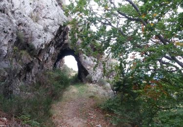
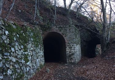
Trail On foot of 18.3 km to be discovered at Occitania, Pyrénées-Orientales, Saint-Marsal. This trail is proposed by jeanic63.
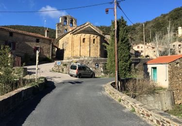
départ parking de l'église de saint Marsal
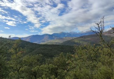
Walking

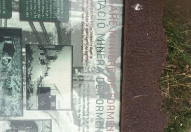
Walking
Walking

Walking
Walking

Walking
Walking

Walking
Walking