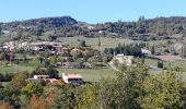

Hubac de Ruy

AIGUIER
User

Length
13.9 km

Max alt
797 m

Uphill gradient
477 m

Km-Effort
20 km

Min alt
512 m

Downhill gradient
481 m
Boucle
Yes
Creation date :
2020-10-18 07:36:36.425
Updated on :
2020-10-18 17:08:11.831
5h24
Difficulty : Medium

FREE GPS app for hiking
About
Trail Walking of 13.9 km to be discovered at Auvergne-Rhône-Alpes, Drôme, Vesc. This trail is proposed by AIGUIER.
Description
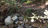
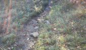
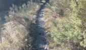
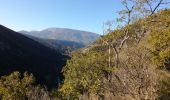
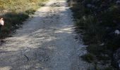
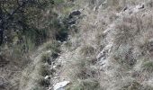
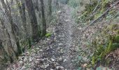
Rando formidable, merveilleux petits sentiers presque irréels dans une nature vierge, au loin la montagne de la Lance, située entre Dieulefit et Nyons.
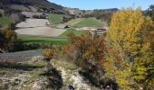
Belle piste forestière avec montée moyenne, paysage et village de la commune de VESC. Bernard.
Positioning
Country:
France
Region :
Auvergne-Rhône-Alpes
Department/Province :
Drôme
Municipality :
Vesc
Location:
Unknown
Start:(Dec)
Start:(UTM)
670983 ; 4932146 (31T) N.
Comments
Trails nearby

Le Devès - Montjoux


Walking
Easy
(1)
Montjoux,
Auvergne-Rhône-Alpes,
Drôme,
France

5.3 km | 7 km-effort
1h 19min
Yes
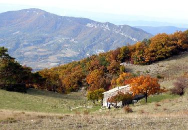
2022-12-16_08h52m12_tmpWriteApidae_48958_fr


Walking
Easy
Montjoux,
Auvergne-Rhône-Alpes,
Drôme,
France

6.1 km | 8.4 km-effort
1h 55min
Yes
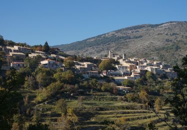
2024-03-07_12h38m09_Orcinas 14km


Walking
Very difficult
Comps,
Auvergne-Rhône-Alpes,
Drôme,
France

14.1 km | 22 km-effort
4h 54min
Yes
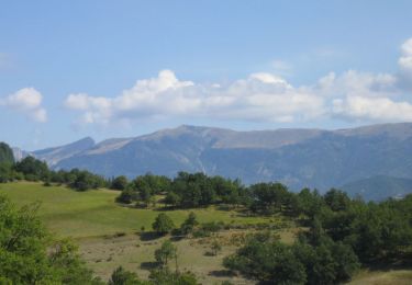
2022-09-03_11h49m50_Tour des 3 montagnes 18km.gpx.xml


Walking
Difficult
Dieulefit,
Auvergne-Rhône-Alpes,
Drôme,
France

18 km | 26 km-effort
5h 50min
Yes

Wikiloc - Vesc


sport
Very easy
(1)
Vesc,
Auvergne-Rhône-Alpes,
Drôme,
France

8 km | 12.9 km-effort
Unknown
Yes
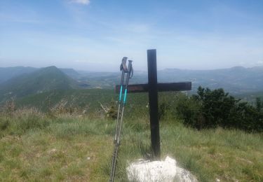
bec de jus


Walking
Difficult
Vesc,
Auvergne-Rhône-Alpes,
Drôme,
France

13.6 km | 25 km-effort
5h 51min
Yes
bec de jus


Walking
Medium
Vesc,
Auvergne-Rhône-Alpes,
Drôme,
France

5.1 km | 10.9 km-effort
2h 27min
Yes
Grottes Sarrazines


Walking
Easy
Montjoux,
Auvergne-Rhône-Alpes,
Drôme,
France

16.2 km | 25 km-effort
5h 5min
Yes
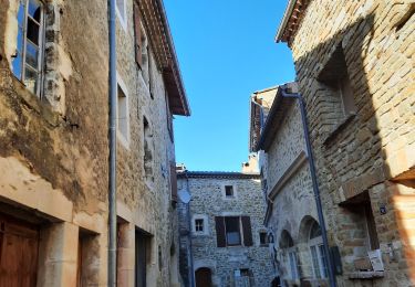
Vesc Montagne du Ruy 18km


Walking
Difficult
Vesc,
Auvergne-Rhône-Alpes,
Drôme,
France

17.4 km | 27 km-effort
7h 18min
Yes


 SityTrail


