


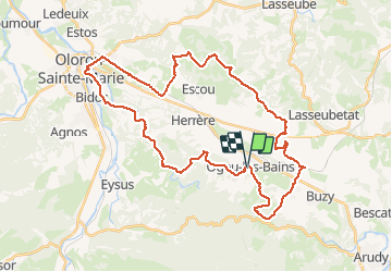

15.9 km | 22 km-effort


User


FREE GPS app for hiking
 SityTrail
IGN / Geographical institutes
SityTrail World
The world is yours!
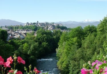
Trail Mountain bike of 44 km to be discovered at New Aquitaine, Pyrénées-Atlantiques, Ogeu-les-Bains. This trail is proposed by potofe.
Circuit balisé N°14.
25 premier km plutôt VTC, 15 dernier km vraiment VTT avec des parties technique au bord du gave.
1 petit gué.
18/10/2020
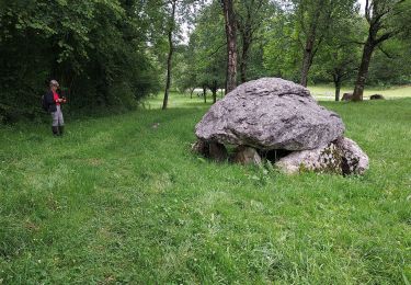
Walking
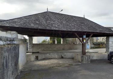
On foot
On foot
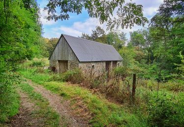
Walking
Walking

Walking

On foot
On foot
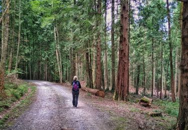
Walking