


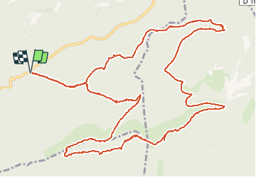

9.8 km | 13.5 km-effort


User


FREE GPS app for hiking
 SityTrail
IGN / Geographical institutes
SityTrail World
The world is yours!
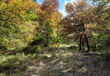
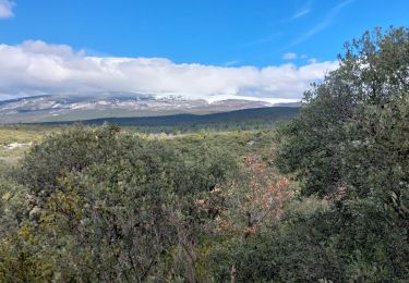
Trail Walking of 17.8 km to be discovered at Provence-Alpes-Côte d'Azur, Vaucluse, Bédoin. This trail is proposed by Manoune.
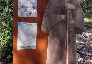
Départ de la piste du Jas de Perrache. Font d'Angiou. Maison forestière du Rat. Les Tournières. la Combe de Clare. Chapelle St Jean. Font de Canaud. Combe de la Font d'Angiuo. Piste du Jas du Cros. Jas de Perrache. parking

Walking
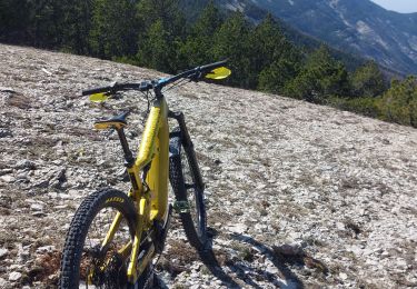
Mountain bike
Walking
Walking
Walking
Mountain bike
Walking
Mountain bike
Walking