


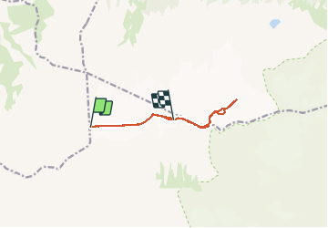

4.8 km | 9.4 km-effort


User


FREE GPS app for hiking
 SityTrail
IGN / Geographical institutes
SityTrail World
The world is yours!
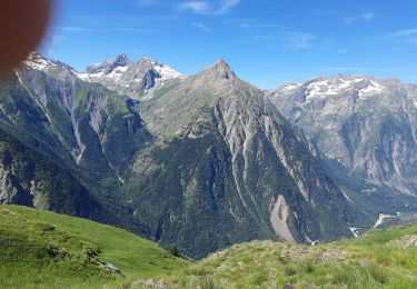
Trail Touring skiing of 9.1 km to be discovered at Auvergne-Rhône-Alpes, Isère, Saint-Christophe-en-Oisans. This trail is proposed by GOHIER.
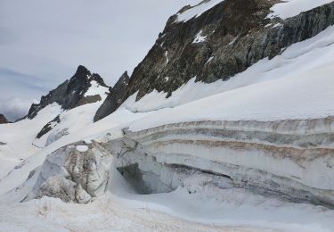
Manu et Patou, un 18 octobre à skis !
Walking

Walking

Walking
Walking
Walking

Via ferrata
Walking
Walking
Walking