


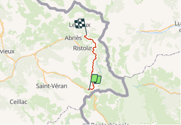

13.1 km | 23 km-effort


User


FREE GPS app for hiking
 SityTrail
IGN / Geographical institutes
SityTrail World
The world is yours!
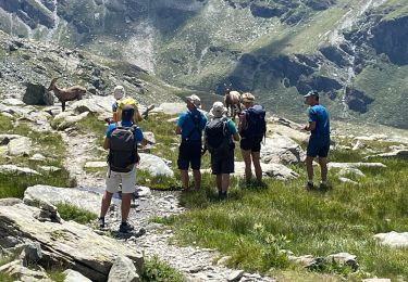
Trail On foot of 18.8 km to be discovered at Provence-Alpes-Côte d'Azur, Hautes-Alpes, Molines-en-Queyras. This trail is proposed by MathieuBourgois.
Col Vieux 2km et 220D
Lac Egourgéou 5.7km et 230D
La Monta 11km et 270D camping, bar et resto
La Lozière 16km et 1150D
Colette de Gilly 18km et 1200D
Jonction variante GR58, lieu de bivouac 19km et 1200D

Walking
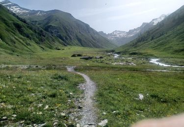
Walking

Walking

Walking

Walking

Walking
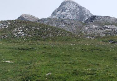
Walking
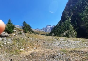
Walking
Walking