


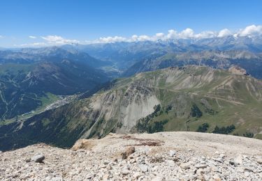
8.2 km | 10 km-effort


User


FREE GPS app for hiking
 SityTrail
IGN / Geographical institutes
SityTrail World
The world is yours!
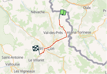
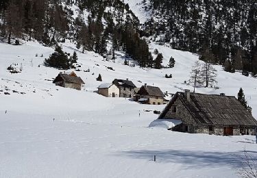
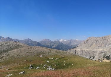
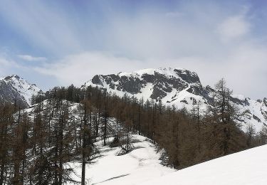
Trail On foot of 23 km to be discovered at Provence-Alpes-Côte d'Azur, Hautes-Alpes, Névache. This trail is proposed by MathieuBourgois.
Montgenève 10km et 360D
Envers du Fontenil 17km et 400D
Briançon, tous services
Camping des 5 vallées 23km et 520D

Walking

Walking
Walking

Walking
Walking
Snowshoes
Walking
On foot