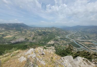
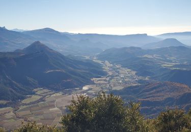
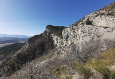
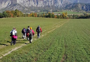
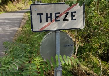
5.6 km | 13.4 km-effort
Sous la Tete De Boursier depart Melves
claude nier
User
Length
9.4 km
Max alt
1418 m
Uphill gradient
720 m
Km-Effort
19 km
Min alt
840 m
Downhill gradient
720 m
Boucle
Yes
Creation date :
2020-10-13 17:07:04.451
Updated on :
2020-10-13 17:08:14.355
--
Difficulty : Medium
FREE GPS app for hiking
About
Trail On foot of 9.4 km to be discovered at Provence-Alpes-Côte d'Azur, Alpes-de-Haute-Provence, Melve. This trail is proposed by claude nier.
Description
belle rando a faire absolument
Positioning
Country:
France
Region :
Provence-Alpes-Côte d'Azur
Department/Province :
Alpes-de-Haute-Provence
Municipality :
Melve
Location:
Unknown
Start:(Dec)
Start:(UTM)
738440 ; 4915357 (31T) N.
Comments
Trails nearby
le pic de Crigne
Walking
Difficult
Monêtier-Allemont,
Provence-Alpes-Côte d'Azur,
Hautes-Alpes,
France
3h 27min
Yes
pic de Crigne
Walking
Medium
Monêtier-Allemont,
Provence-Alpes-Côte d'Azur,
Hautes-Alpes,
France
11.3 km | 23 km-effort
6h 23min
Yes
SIGOYER Boucle Croix de la Biousse o l m s
Walking
Medium
Sigoyer,
Provence-Alpes-Côte d'Azur,
Alpes-de-Haute-Provence,
France
16.3 km | 23 km-effort
4h 25min
Yes
SityTrail - Pic de Crigne.
Walking
Medium
Monêtier-Allemont,
Provence-Alpes-Côte d'Azur,
Hautes-Alpes,
France
4 km | 8.9 km-effort
2h 0min
Yes
Sigoyer Les Baudes
Walking
Easy
Sigoyer,
Provence-Alpes-Côte d'Azur,
Alpes-de-Haute-Provence,
France
8.7 km | 12.3 km-effort
2h 42min
No
Tete de Boursier depart Claret
Walking
Medium
Claret,
Provence-Alpes-Côte d'Azur,
Alpes-de-Haute-Provence,
France
12 km | 22 km-effort
5h 32min
Yes
Boucle Theze Sigoyer depart Theze
Walking
Easy
Thèze,
Provence-Alpes-Côte d'Azur,
Alpes-de-Haute-Provence,
France
11.4 km | 15.7 km-effort
3h 8min
Yes
Boucle Croix de la Biousse
Walking
Medium
Sigoyer,
Provence-Alpes-Côte d'Azur,
Alpes-de-Haute-Provence,
France
16.6 km | 23 km-effort
4h 57min
Yes
LA MOTTE DU CAIRE .Le tour de la Blachere o
Walking
Difficult
La Motte-du-Caire,
Provence-Alpes-Côte d'Azur,
Alpes-de-Haute-Provence,
France
37 km | 67 km-effort
4h 0min
No