


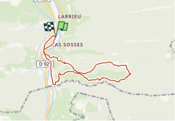


4.4 km | 5.9 km-effort


User


FREE GPS app for hiking
 SityTrail
IGN / Geographical institutes
SityTrail World
The world is yours!
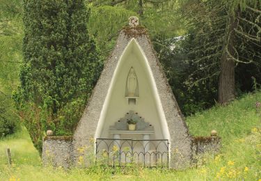
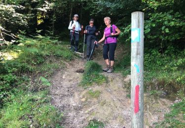
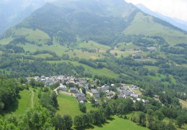
Trail Walking of 8.5 km to be discovered at Occitania, Hautespyrenees, Hèches. This trail is proposed by mitch1952.
Randonnée effectuée en sens anti horaire , sens contraire du balisage local. Retour le long du canal de la Neste
Sortie commune du 17 juin 2022
Walking

Walking
Walking
Walking
Walking
Walking
On foot
Walking
Mountain bike