


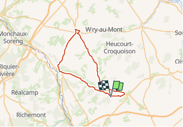

21 km | 25 km-effort


User


FREE GPS app for hiking
 SityTrail
IGN / Geographical institutes
SityTrail World
The world is yours!
Trail Motorbike of 42 km to be discovered at Hauts-de-France, Somme, Hornoy-le-Bourg. This trail is proposed by grar.
Cycle

Cycle

Walking
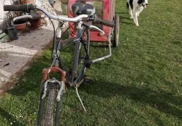
Bicycle tourism
Walking
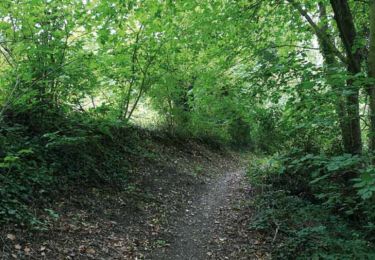
Walking
