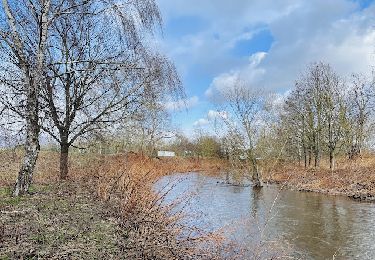
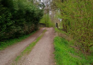
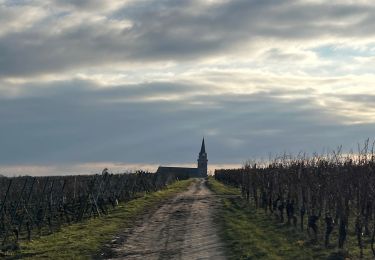
Trail Walking Illhaeusern - Illhausern Le sentier des Ried, voie romaine  - Photo

Illhausern Le sentier des Ried, voie romaine

 zazie
zazie

User

© OpenStreetMap contributors
Length
Length
7.9 km
Max alt
Max alt
187 m
Uphill gradient
Uphill gradient
50 m
Km-Effort
Km-Effort  
8.6 km
Min alt
Min alt
168 m
Downhill gradient
Downhill gradient
49 m
Boucle
Boucle
Yes
Creation date :
2020-10-11 12:36:23.037
Updated on :
2020-10-11 14:09:59.495

(0 Reviews)

Walking
Walking
1h31
Difficulty : Very easy

Scan this QR Code to open this trail in the SityTrail application

FREE GPS app for hiking

Logo SityTrail SityTrail

IGN / Geographical institutes

Download SityTrail from the App Store Download SityTrail from Google Play

Logo SityTrail SityTrail World

The world is yours!

Download SityTrail from the App Store Download SityTrail from Google Play Download SityTrail on Huawei AppGallery

About

Trail Walking of 7.9 km to be discovered at Grand Est, Haut-Rhin, Illhaeusern. This trail is proposed by zazie.

Elevation profile

Photos

Positioning

Country:
France
Region :
Grand Est
Department/Province :
Haut-Rhin
Municipality :
Illhaeusern
Location:
Unknown
Start:(UTM)
383412 ; 5338095 (32U) N.

Trails nearby

Trail Walking Bergheim - Bergheim - Entre vignes et crèches  - Photo
Walking
zazie

Walking

Very easy
Bergheim, Grand Est, Haut-Rhin, France
6.5 km | 7.3 km-effort
1h 25min
Yes
Trail Horseback riding Saint-Hippolyte - 2018-08-19 Balade St Hyppolyte Thannenkirch  - Photo
Horseback riding
GUIDE
holtzv

Horseback riding

Very easy
Saint-Hippolyte, Grand Est, Haut-Rhin, France
28 km | 39 km-effort
7h 25min
No
Trail Walking Ostheim - Le long de la rivière Fecht à Ostheim en France - Photo
Walking
GUIDE
Benjamin27

Walking

Easy
Ostheim, Grand Est, Haut-Rhin, France
2.3 km | 2.5 km-effort
33min
Yes
Trail Walking Colmar - champignons  - Photo
Walking
halotiti68

Walking

Medium
Colmar, Grand Est, Haut-Rhin, France
10.1 km | 10.9 km-effort
1h 7min
No
Trail Walking Colmar - Entre l'Ill et la forêt  - Photo
Walking
zazie

Walking

Very easy
Colmar, Grand Est, Haut-Rhin, France
7.4 km | 7.9 km-effort
1h 26min
Yes
Trail Horseback riding Saint-Hippolyte - Circuit LB St Hippolyte Thannenkirch - Photo
Horseback riding
GUIDE+

Horseback riding

Easy
Saint-Hippolyte, Grand Est, Haut-Rhin, France
30 km | 44 km-effort
41min
No
Trail Canoe - kayak Colmar - Canoé-descente de l'ill - Photo
Canoe - kayak
benoit747

Canoe - kayak

Medium
Colmar, Grand Est, Haut-Rhin, France
13.3 km | 14.3 km-effort
3h 0min
No
Trail Walking Sélestat - Petit circuit notre dame du chêne Illwald - Photo
Walking
Luster

Walking

Medium
Sélestat, Grand Est, Bas-Rhin, France
5.7 km | 6.3 km-effort
1h 26min
Yes
Trail Walking Colmar - Près de Riedwihr  - Photo
Walking
halotiti68

Walking

Easy
Colmar, Grand Est, Haut-Rhin, France
2.2 km | 2.4 km-effort
45min
Yes


Close
My subscriptions