


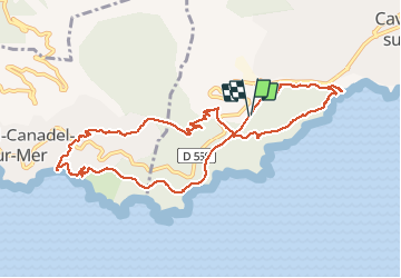


14.8 km | 24 km-effort

User


FREE GPS app for hiking
 SityTrail
IGN / Geographical institutes
SityTrail World
The world is yours!
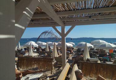
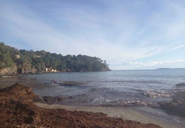
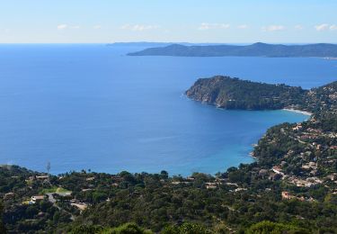
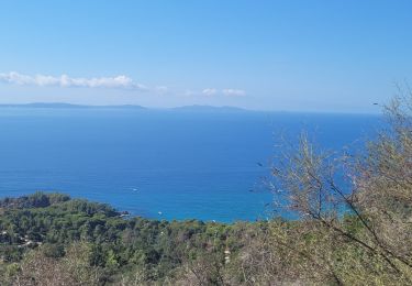
Trail Walking of 11.6 km to be discovered at Provence-Alpes-Côte d'Azur, Var, Cavalaire-sur-Mer. This trail is proposed by jean-marie.parachini.
randonnée de Cavalaire au Rayol par le Dattier vallon du Fenouillet Bonporteau site maison Foncin le Patek domaine du Rayol et retour par sentier ancien train des Pignes.


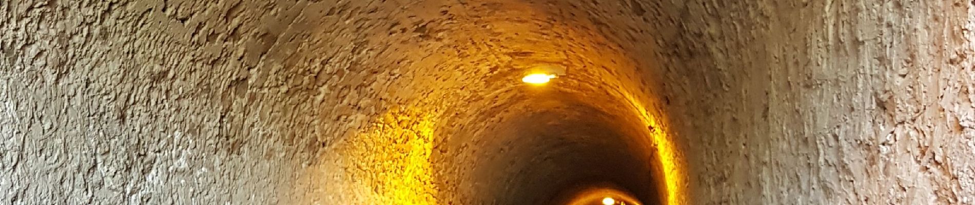
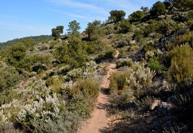
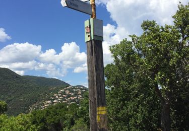
34 photos in total. Please click on a photo to see them all in the gallery.
Walking

Walking
Walking
Walking
Hybrid bike
Walking
Walking
Walking
Walking