


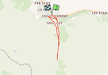

6.3 km | 11.2 km-effort

User


FREE GPS app for hiking
 SityTrail
IGN / Geographical institutes
SityTrail World
The world is yours!
Trail Walking of 12.2 km to be discovered at Auvergne-Rhône-Alpes, Isère, Saint-Christophe-en-Oisans. This trail is proposed by patjobou.
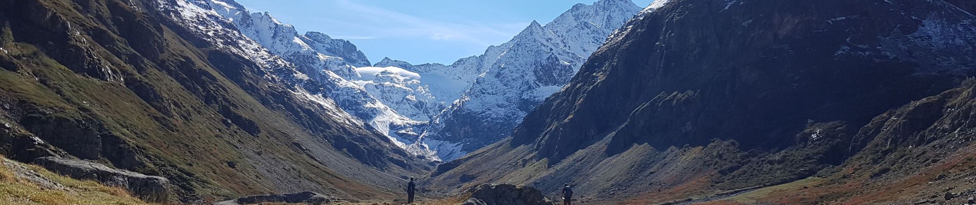
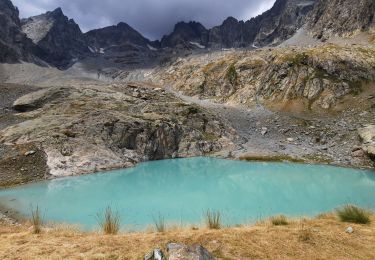
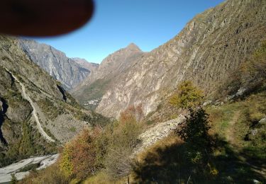
Belle boucle d'automne, avec de belles vues sur les sommets déjà enneigés. Le retour par Le Souchet, est frais et humide, il peut présenter quelques passages glissants.


Walking

Walking

Walking

Walking

Walking
Walking
Walking

Walking

Walking