


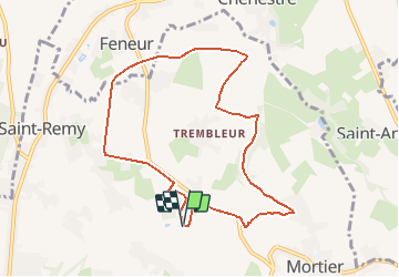


10.9 km | 12.6 km-effort

User


FREE GPS app for hiking
 SityTrail
IGN / Geographical institutes
SityTrail World
The world is yours!
Trail On foot of 8.2 km to be discovered at Wallonia, Liège, Blegny. This trail is proposed by Blegny-LeReveil.
A la découverte de sentiers et chemins oubliés, les 17 et 18 octobre 2020.
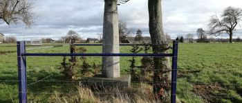
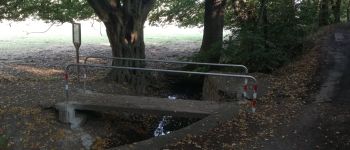
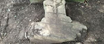
Cette promenade vous permettra de découvrir quelques événements réels ou imaginaires de l"histoire de notre commune, en passant par quelques sentiers peu connus ou peu fréquentés.
la promenade est initiée par le mouvement citoyen "BE21 - des racines et demain" axé sur les différents aspects du développement durable.
N'hésitez pas à nous faire part de votre appréciation de la randonnée.


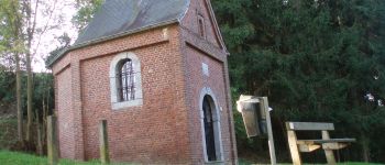
Walking

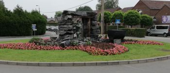
Walking

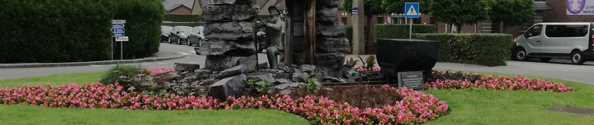
Walking

Walking

Walking

Walking

Walking

Walking

Walking