


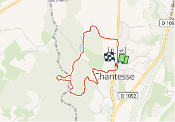

11.4 km | 17.4 km-effort

User


FREE GPS app for hiking
 SityTrail
IGN / Geographical institutes
SityTrail World
The world is yours!
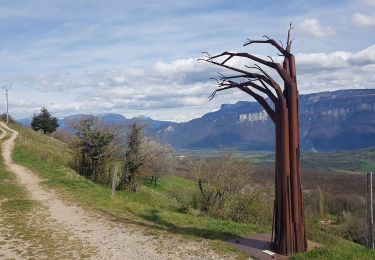
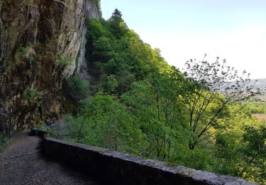
Trail Walking of 3.7 km to be discovered at Auvergne-Rhône-Alpes, Isère, Chantesse. This trail is proposed by popo38.
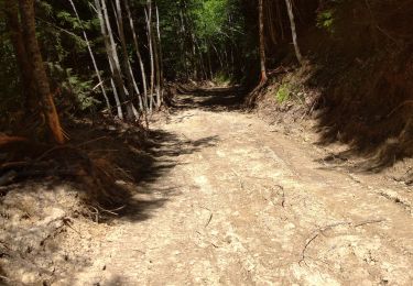
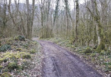
C’est une version compliquée il y a parfois des ronces a traversé des arbres à éviter des non-traces et une très longue descente extrêmement difficile enfin de balade bref je vous la recommande pas mais bon à vous de voir

Walking
Walking
Walking
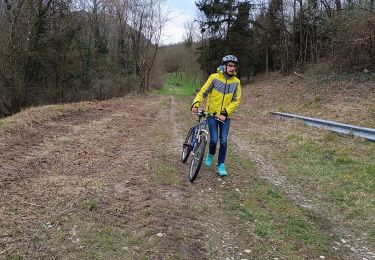
Mountain bike
Walking
Walking
Walking

Mountain bike
Walking