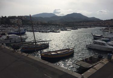
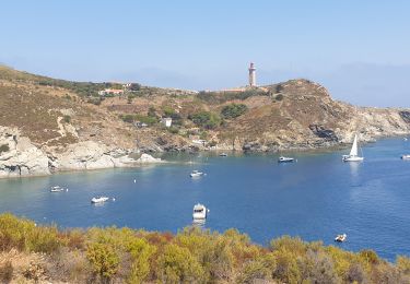
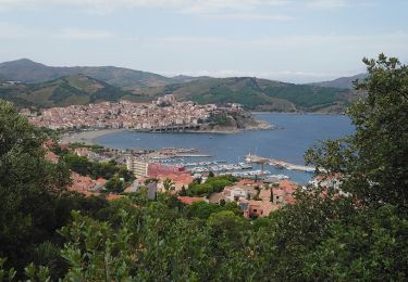
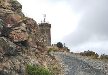
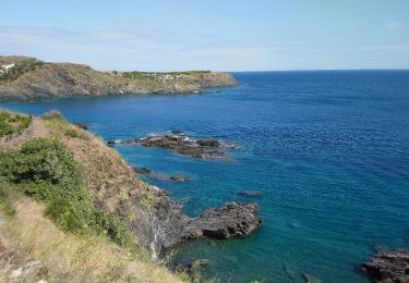
Trail On foot Cerbère - Cerbere Banyuls  le chemin des douaniers - Photo

Cerbere Banyuls le chemin des douaniers

 jeanic63
jeanic63

User

© OpenStreetMap contributors
Length
Length
13 km
Max alt
Max alt
114 m
Uphill gradient
Uphill gradient
328 m
Km-Effort
Km-Effort  
17.5 km
Min alt
Min alt
0 m
Downhill gradient
Downhill gradient
370 m
Boucle
Boucle
No
Creation date :
2020-10-03 16:33:58.989
Updated on :
2020-10-03 16:38:11.604

(0 Reviews)

On foot
On foot
--
Difficulty : Difficult

Scan this QR Code to open this trail in the SityTrail application

FREE GPS app for hiking

Logo SityTrail SityTrail

IGN / Geographical institutes

Download SityTrail from the App Store Download SityTrail from Google Play

Logo SityTrail SityTrail World

The world is yours!

Download SityTrail from the App Store Download SityTrail from Google Play Download SityTrail on Huawei AppGallery

About

Trail On foot of 13 km to be discovered at Occitania, Pyrénées-Orientales, Cerbère. This trail is proposed by jeanic63.

Description

Départ paking de paulille port Vendres

Elevation profile

Positioning

Country:
France
Region :
Occitania
Department/Province :
Pyrénées-Orientales
Municipality :
Cerbère
Location:
Unknown
Start:(UTM)
512883 ; 4700523 (31T) N.

Trails nearby

Trail Walking Banyuls-sur-Mer - BANYULS- SUR-MER 66 - Sentier littoral - cap Rederis - col de la Creu - Photo
Walking
jeff66

Walking

Difficult
(2)
Banyuls-sur-Mer, Occitania, Pyrénées-Orientales, France
15.1 km | 22 km-effort
3h 45min
Yes
Trail Walking Banyuls-sur-Mer - Littoral Banyuls-Cerbere - Photo
Walking
perittel

Walking

Medium
(1)
Banyuls-sur-Mer, Occitania, Pyrénées-Orientales, France
13.6 km | 18.8 km-effort
4h 33min
Yes
Trail Walking Portbou - Sentier du Littoral : Cerbère à Port-Vendres - Photo
Walking
GUIDE
toutankhcarton

Walking

Difficult
Portbou, Catalonia, Girona, Spain
24 km | 33 km-effort
6h 24min
No
Trail On foot Portbou - Portbou-Querroig - Photo
On foot
GUIDE+

On foot

Medium
Portbou, Catalonia, Girona, Spain
16 km | 26 km-effort
5h 48min
Yes
Trail Walking Banyuls-sur-Mer - Banyuls Cerbère - Littoral retour bus - 10km 4h 320m déniv. - Photo
Walking
jopost

Walking

Difficult
(1)
Banyuls-sur-Mer, Occitania, Pyrénées-Orientales, France
10 km | 14.3 km-effort
4h 12min
No
Trail Walking Port-Vendres - Paulilles - Cap Rederis - 17.4km 500m 5h15 (45mn) - 2018 09 12 - Photo
Walking
GUIDE
Orcal37

Walking

Medium
Port-Vendres, Occitania, Pyrénées-Orientales, France
17.4 km | 24 km-effort
5h 15min
Yes
Trail Walking Banyuls-sur-Mer - Banyuls-sur-Mer - Tour de Madaloc - 13.5km 675m 4h15 (45m) - 2018 09 09 - Photo
Walking
GUIDE
Orcal37

Walking

Medium
Banyuls-sur-Mer, Occitania, Pyrénées-Orientales, France
13.5 km | 22 km-effort
4h 15min
Yes
Trail Walking Cerbère - Cerbère - Cap Cerbère - Plage de Peyrefite - 12.9km 510m 4h10 (40mn) - 2018 09 06 - Photo
Walking
GUIDE
Orcal37

Walking

Medium
Cerbère, Occitania, Pyrénées-Orientales, France
12.9 km | 18.8 km-effort
4h 10min
Yes
Trail Walking Banyuls-sur-Mer - RP 66 BANYULS SUR MER - PUIG del Mas - PUIG JOAN - le 10.03.2017 - Photo
Walking
jeff66

Walking

Medium
(1)
Banyuls-sur-Mer, Occitania, Pyrénées-Orientales, France
9.7 km | 16 km-effort
2h 21min
Yes


Close
My subscriptions