


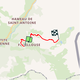

12.6 km | 21 km-effort


User


FREE GPS app for hiking
 SityTrail
IGN / Geographical institutes
SityTrail World
The world is yours!
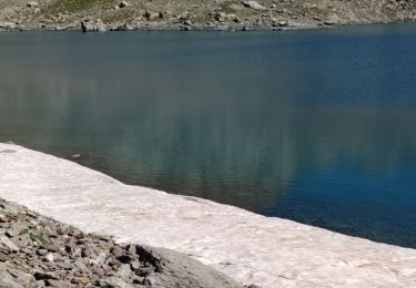
Trail Snowshoes of 6.5 km to be discovered at Provence-Alpes-Côte d'Azur, Alpes-de-Haute-Provence, Saint-Paul-sur-Ubaye. This trail is proposed by Christian13.
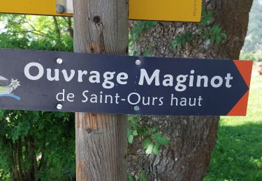
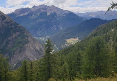
Départ de Fouillouse à destination du refuge du Chambeyron

Walking

Walking

Other activity
Walking

Walking
Walking
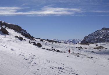
Touring skiing
Walking
Walking