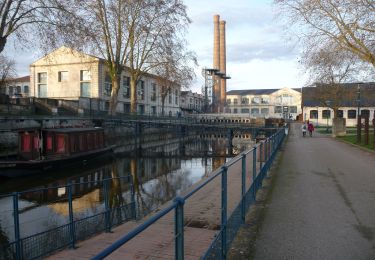
5.3 km | 5.7 km-effort
Châtellerault 7,4
jfcousty
User
Length
7.4 km
Max alt
70 m
Uphill gradient
64 m
Km-Effort
8.2 km
Min alt
45 m
Downhill gradient
63 m
Boucle
Yes
Creation date :
2020-09-29 12:29:47.936
Updated on :
2020-09-29 12:33:46.801
1h49
Difficulty : Medium
FREE GPS app for hiking
About
Trail Walking of 7.4 km to be discovered at New Aquitaine, Vienne, Châtellerault. This trail is proposed by jfcousty.
Description
Visite d'une partie de Châtellerault
Positioning
Country:
France
Region :
New Aquitaine
Department/Province :
Vienne
Municipality :
Châtellerault
Location:
Unknown
Start:(Dec)
Start:(UTM)
312364 ; 5188082 (31T) N.
Comments
Trails nearby
2024 06 01 Voie de Tours -Châtellerault -Dissay
Walking
Medium
Châtellerault,
New Aquitaine,
Vienne,
France
21 km | 24 km-effort
6h 1min
No
Antran la Girouette
Walking
Medium
Antran,
New Aquitaine,
Vienne,
France
8.8 km | 9.6 km-effort
2h 11min
Yes
Châtellerault vers ligne verte
Walking
Easy
Châtellerault,
New Aquitaine,
Vienne,
France
4.8 km | 5.2 km-effort
1h 11min
Yes
Châtellerault Manu Lyautey
Walking
Easy
Châtellerault,
New Aquitaine,
Vienne,
France
5.4 km | 5.9 km-effort
1h 20min
Yes
Châtellerault vers ligne verte
Walking
Easy
Châtellerault,
New Aquitaine,
Vienne,
France
4.9 km | 5.3 km-effort
1h 11min
Yes
Châtellerault bords de Vienne
Walking
Medium
Châtellerault,
New Aquitaine,
Vienne,
France
8.5 km | 9.2 km-effort
2h 2min
Yes
antran_boucle_valencay
Walking
Difficult
Antran,
New Aquitaine,
Vienne,
France
11.6 km | 14.1 km-effort
3h 11min
No
001A Chatellerault to St Savin via La Puye
Electric bike
Very easy
Châtellerault,
New Aquitaine,
Vienne,
France
49 km | 56 km-effort
Unknown
No