


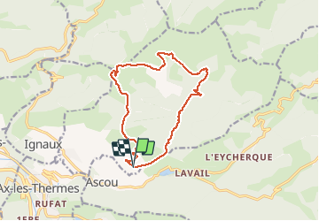

21 km | 36 km-effort


User


FREE GPS app for hiking
 SityTrail
IGN / Geographical institutes
SityTrail World
The world is yours!
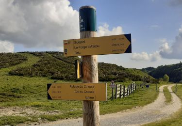
Trail Walking of 14.5 km to be discovered at Occitania, Ariège, Sorgeat. This trail is proposed by c.chehere.
Belle rando faite le 28 septembre 2020 après des chutes de neige. Le sentier entre le GR et la coume belle est très déterrioré par les passages des vaches et la terre détrempée. Sentier très peu emprunté (voir pas du tout)


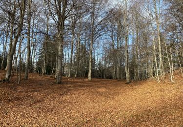
Walking
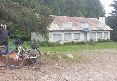
Mountain bike

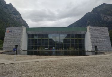
Walking
Walking
Walking
Walking
Walking