
espit es tu lā

c.chehere
User

Length
14.5 km

Max alt
1656 m

Uphill gradient
578 m

Km-Effort
22 km

Min alt
1165 m

Downhill gradient
578 m
Boucle
Yes
Creation date :
2020-09-28 06:35:28.515
Updated on :
2020-09-28 15:12:19.905
6h18
Difficulty : Easy

FREE GPS app for hiking
About
Trail Walking of 14.5 km to be discovered at Occitania, Ariège, Sorgeat. This trail is proposed by c.chehere.
Description
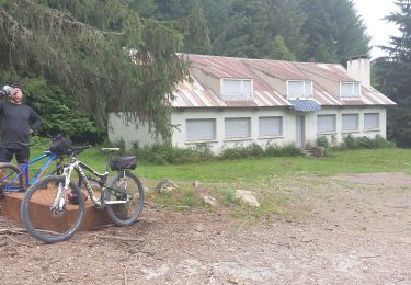
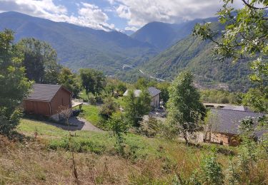
Belle rando faite le 28 septembre 2020 après des chutes de neige. Le sentier entre le GR et la coume belle est très déterrioré par les passages des vaches et la terre détrempée. Sentier très peu emprunté (voir pas du tout)
Positioning
Country:
France
Region :
Occitania
Department/Province :
Ariège
Municipality :
Sorgeat
Location:
Unknown
Start:(Dec)
Start:(UTM)
407926 ; 4730965 (31T) N.
Comments
Trails nearby

Chemin des Bonhommes - Sorgeat Merens


Walking
Very difficult
(1)
Sorgeat,
Occitania,
Ariège,
France

21 km | 36 km-effort
8h 0min
No

Orlu Parking Aygue Longue


Mountain bike
Medium
Orlu,
Occitania,
Ariège,
France

16.1 km | 24 km-effort
2h 51min
Yes

Lac de Campauleil - Orgeix


Walking
Very easy
(1)
Ax-les-Thermes,
Occitania,
Ariège,
France

8.6 km | 11.2 km-effort
3h 3min
Yes


La Chioula Orlu GR107 le chemins des Bonshommes


Walking
Difficult
Prades,
Occitania,
Ariège,
France

18.7 km | 25 km-effort
6h 17min
No

balade bleue au dessus d'Ax


Walking
Easy
Ax-les-Thermes,
Occitania,
Ariège,
France

3.8 km | 6.1 km-effort
1h 22min
Yes

Orgeix _ Ignaux


Walking
Medium
Ax-les-Thermes,
Occitania,
Ariège,
France

12.8 km | 19.1 km-effort
4h 12min
Yes

Le roc de la péra


Walking
Medium
(1)
Orlu,
Occitania,
Ariège,
France

9.3 km | 15 km-effort
2h 52min
Yes


 SityTrail


