


 - Photo 21")
 - Photo 22")
 - Photo 23")
 - Photo 24")
 - Photo 25")
 - Photo 26")
 - Photo 27")
 - Photo 28")
 - Photo 29")

19.6 km | 37 km-effort

User


FREE GPS app for hiking
 SityTrail
IGN / Geographical institutes
SityTrail World
The world is yours!
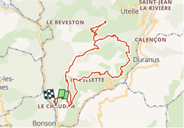
Trail Walking of 25 km to be discovered at Provence-Alpes-Côte d'Azur, Maritime Alps, Utelle. This trail is proposed by ETMU5496.
randonnée sportive depuis le Chaudan. Ascension vers le col de Moutète, puis d'Ambellarte.
La montée vers le sanctuaire de la Madone d'Utelle est optionnelle.
Son A/R ( 3,5km et 230 D -) est intégré ici dans la Rando proposée.
Retour Le Chaudan par Cros d'Utelle avec superbe panorama sur la vallée de la Vésubie.
 - Photo 1")
 - Photo 2")
 - Photo 3")
 - Photo 4")
 - Photo 5")
 - Photo 6")
 - Photo 7")
 - Photo 8")
 - Photo 9")
 - Photo 10")
 - Photo 11")
 - Photo 12")
 - Photo 13")
 - Photo 14")
 - Photo 15")
 - Photo 16")
 - Photo 17")
 - Photo 18")
 - Photo 19")
 - Photo 20")
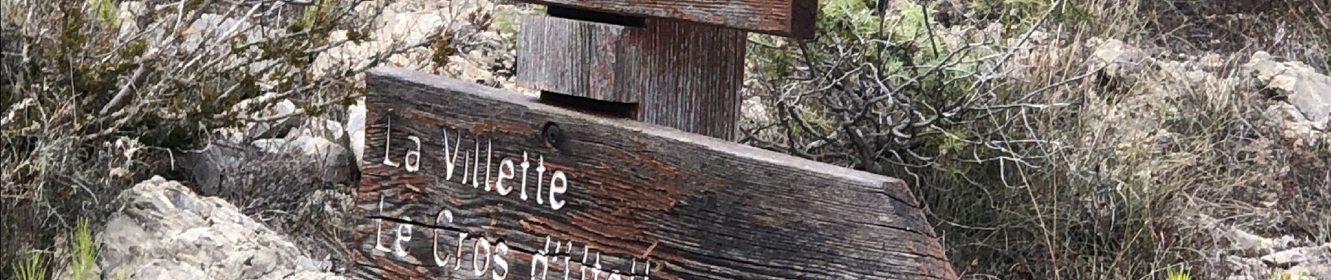
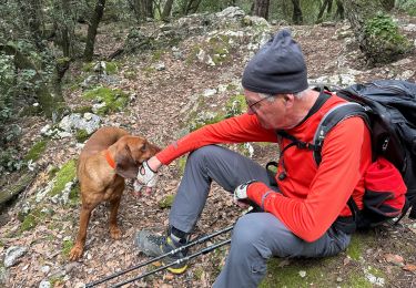
29 photos in total. Please click on a photo to see them all in the gallery.

Walking

On foot

On foot

On foot

Walking

Walking

Walking
Walking
Walking