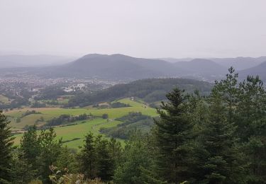
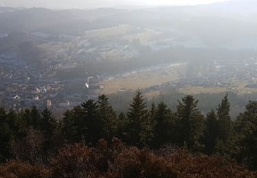
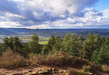
20 km | 28 km-effort
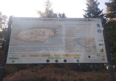
Camp celtique La Bure
edouard_bieber
User
Length
14.1 km
Max alt
597 m
Uphill gradient
476 m
Km-Effort
20 km
Min alt
326 m
Downhill gradient
475 m
Boucle
Yes
Creation date :
2016-03-09 00:00:00.0
Updated on :
2016-03-09 00:00:00.0
4h18
Difficulty : Medium
FREE GPS app for hiking
About
Trail Walking of 14.1 km to be discovered at Grand Est, Vosges, Hurbache. This trail is proposed by edouard_bieber.
Description
15/11/2013
Positioning
Country:
France
Region :
Grand Est
Department/Province :
Vosges
Municipality :
Hurbache
Location:
Unknown
Start:(Dec)
Start:(UTM)
347004 ; 5357198 (32U) N.
Comments
Trails nearby
vtt la voivre La Bure 29-03-19
Mountain bike
Difficult
(2)
Saint-Dié-des-Vosges,
Grand Est,
Vosges,
France
2h 48min
Yes
sortie vtt 14042019 Moyenmoutier
Mountain bike
Difficult
Moyenmoutier,
Grand Est,
Vosges,
France
30 km | 43 km-effort
3h 0min
No
Chez Manu saint jean d’ormont
Horseback riding
Medium
Moyenmoutier,
Grand Est,
Vosges,
France
20 km | 28 km-effort
3h 41min
Yes
Chez Manu 1ere sortie des jeunes
Horseback riding
Easy
Moyenmoutier,
Grand Est,
Vosges,
France
10.6 km | 14.1 km-effort
1h 51min
Yes
Circuit de la Haute Pierre
On foot
Easy
Moyenmoutier,
Grand Est,
Vosges,
France
9.3 km | 14.6 km-effort
3h 18min
Yes
Balade autour du Col de la Crenée
Walking
Easy
(1)
Saint-Dié-des-Vosges,
Grand Est,
Vosges,
France
11.4 km | 17 km-effort
3h 48min
Yes
La Haute-Pierre 01-01-2017
Walking
Medium
Moyenmoutier,
Grand Est,
Vosges,
France
8 km | 12.2 km-effort
2h 21min
Yes
Fontenelle 2024
Walking
Very easy
Ban-de-Sapt,
Grand Est,
Vosges,
France
6.9 km | 8.8 km-effort
1h 46min
Yes
col de crenee rocher du corbeau camps de la bure
Walking
Medium
Saint-Dié-des-Vosges,
Grand Est,
Vosges,
France
8.8 km | 12.8 km-effort
3h 56min
No
excellente ballade variée de la bonne longueur bonne idée d'avoir panaché différents itinéraires le tout est bien équilibré