
La Roche-Guyon boucle

vincentph
User

Length
15.5 km

Max alt
131 m

Uphill gradient
299 m

Km-Effort
19.5 km

Min alt
19 m

Downhill gradient
302 m
Boucle
Yes
Creation date :
2014-12-10 00:00:00.0
Updated on :
2014-12-10 00:00:00.0
4h15
Difficulty : Easy

FREE GPS app for hiking
About
Trail Walking of 15.5 km to be discovered at Ile-de-France, Val-d'Oise, La Roche-Guyon. This trail is proposed by vincentph.
Description
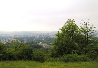
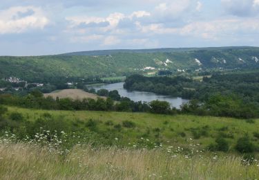
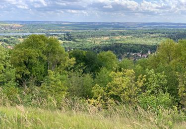
montée vers l'est sur la falaise depuis La Roche-Guyon puis traversée de la forêt vers Fourges, retour via e long de l'Epte puis par la falaise coté ouest.
A faire plutôt avant l'explosion de la végétation.
Positioning
Country:
France
Region :
Ile-de-France
Department/Province :
Val-d'Oise
Municipality :
La Roche-Guyon
Location:
Unknown
Start:(Dec)
Start:(UTM)
399917 ; 5437364 (31U) N.
Comments
Trails nearby

La Garennoise 2005-47km


Mountain bike
Difficult
(2)
Saint-Martin-la-Garenne,
Ile-de-France,
Yvelines,
France

47 km | 60 km-effort
3h 30min
Yes

La Roche Guyon - Chérence


Walking
Medium
(2)
La Roche-Guyon,
Ile-de-France,
Val-d'Oise,
France

8.8 km | 11.5 km-effort
2h 30min
Yes

La Roche Guyon - Forêt + falaises


Walking
Medium
(2)
La Roche-Guyon,
Ile-de-France,
Val-d'Oise,
France

12.1 km | 15.3 km-effort
3h 22min
Yes

Accès gr2


On foot
Easy
Gommecourt,
Ile-de-France,
Yvelines,
France

5.6 km | 6.7 km-effort
1h 31min
No

cherence vetheuil


Walking
Haute-Isle,
Ile-de-France,
Val-d'Oise,
France

11.1 km | 14.5 km-effort
3h 21min
Yes

La Roche Guyon


Walking
Very easy
La Roche-Guyon,
Ile-de-France,
Val-d'Oise,
France

8.6 km | 11.4 km-effort
2h 53min
Yes

160117 - Saint-Martin la Garenne


Walking
Easy
(1)
Saint-Martin-la-Garenne,
Ile-de-France,
Yvelines,
France

14.2 km | 15.7 km-effort
3h 27min
Yes

20180311-Les chemins de Sigrancia


Walking
Difficult
(1)
Chérence,
Ile-de-France,
Val-d'Oise,
France

18.1 km | 22 km-effort
4h 49min
Yes

La Garennoise 2005 - 80km


Mountain bike
Very difficult
(1)
Saint-Martin-la-Garenne,
Ile-de-France,
Yvelines,
France

80 km | 100 km-effort
5h 30min
Yes


 SityTrail


très bien à part la portion gasny un peu trop route