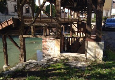
11.7 km | 14 km-effort
RD St Quentin le Verger
Alain Picard
User
Length
6.5 km
Max alt
105 m
Uphill gradient
67 m
Km-Effort
7.4 km
Min alt
76 m
Downhill gradient
67 m
Boucle
Yes
Creation date :
2020-09-24 20:01:02.124
Updated on :
2020-09-24 20:02:17.868
2h00
Difficulty : Easy
FREE GPS app for hiking
About
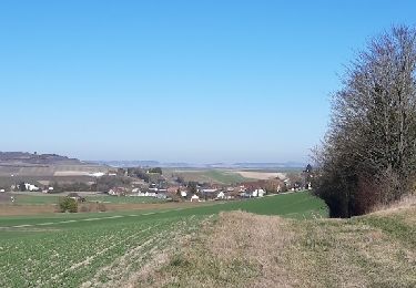
Trail On foot of 6.5 km to be discovered at Grand Est, Marne, Saint-Quentin-le-Verger. This trail is proposed by Alain Picard.
Positioning
Country:
France
Region :
Grand Est
Department/Province :
Marne
Municipality :
Saint-Quentin-le-Verger
Location:
Unknown
Start:(Dec)
Start:(UTM)
554843 ; 5385240 (31U) N.
Comments
Trails nearby
dans le vignoble Champenois autour de BARBONNE-FAYEL
Walking
Easy
Barbonne-Fayel,
Grand Est,
Marne,
France
4h 27min
Yes
Au fil de l'Aube
Walking
Very easy
Anglure,
Grand Est,
Marne,
France
10.5 km | 11.2 km-effort
2h 7min
Yes
la celle bois de fontaine denis nuisy
Walking
Difficult
La Celle-sous-Chantemerle,
Grand Est,
Marne,
France
12.5 km | 15.5 km-effort
3h 31min
Yes
Barbonne-Fayel ,
On foot
Easy
Barbonne-Fayel,
Grand Est,
Marne,
France
9 km | 11.3 km-effort
2h 30min
Yes
RD Barbonne Lancourt
On foot
Very easy
Barbonne-Fayel,
Grand Est,
Marne,
France
7.2 km | 9 km-effort
Unknown
Yes
Barbonne fayel
Walking
Medium
Barbonne-Fayel,
Grand Est,
Marne,
France
9.1 km | 11 km-effort
2h 30min
Yes
RD Barbonne Lancourt
On foot
Easy
Barbonne-Fayel,
Grand Est,
Marne,
France
7.2 km | 9 km-effort
2h 3min
Yes
Barbonne, village, vignoble et bois
Walking
Difficult
Barbonne-Fayel,
Grand Est,
Marne,
France
12.6 km | 15.7 km-effort
3h 49min
Yes
La Celle sous Chantemerle 9km
On foot
Easy
La Celle-sous-Chantemerle,
Grand Est,
Marne,
France
9.1 km | 11.4 km-effort
2h 35min
Yes