


41 km | 54 km-effort


ensemble sur les chemins


FREE GPS app for hiking
 SityTrail
IGN / Geographical institutes
SityTrail World
The world is yours!
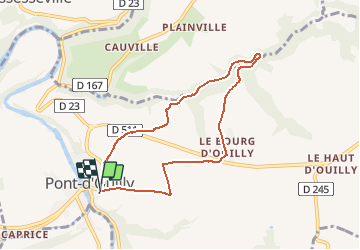
Trail On foot of 6.9 km to be discovered at Normandy, Calvados, Pont-d'Ouilly. This trail is proposed by AACLARANDO.
départ depuis le point info tourisme. Direction la Guérardière, la Goubinière , le Bourg d'Ouilly.

Mountain bike

Walking

Walking


Walking

Walking

On foot
On foot

On foot
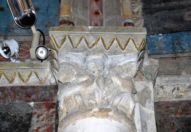
Très beau paysage