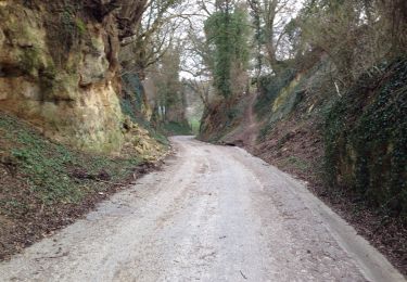
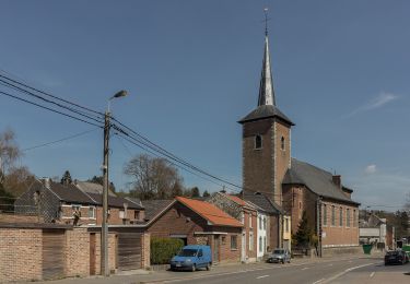
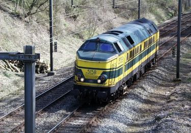
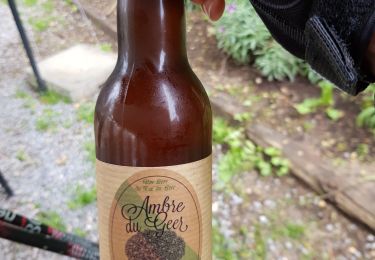
Trail Running Juprelle - Slins Heure Houtain Slins  - Photo

Slins Heure Houtain Slins

© OpenStreetMap contributors
Length
Length
15.1 km
Max alt
Max alt
167 m
Uphill gradient
Uphill gradient
126 m
Km-Effort
Km-Effort  
16.8 km
Min alt
Min alt
117 m
Downhill gradient
Downhill gradient
125 m
Boucle
Boucle
Yes
Creation date :
2020-09-22 17:01:52.0
Updated on :
2020-09-22 18:45:34.208

(0 Reviews)

Running
Running
1h41
Difficulty : Unknown

Scan this QR Code to open this trail in the SityTrail application

FREE GPS app for hiking

Logo SityTrail SityTrail

IGN / Geographical institutes

Download SityTrail from the App Store Download SityTrail from Google Play

Logo SityTrail SityTrail World

The world is yours!

Download SityTrail from the App Store Download SityTrail from Google Play Download SityTrail on Huawei AppGallery

About

Trail Running of 15.1 km to be discovered at Wallonia, Liège, Juprelle. This trail is proposed by Jean-charles Slachmuylders.

Elevation profile

Positioning

Country:
Belgium
Region :
Wallonia
Department/Province :
Liège
Municipality :
Juprelle
Location:
Slins
Start:(UTM)
680696 ; 5622013 (31U) N.

Trails nearby

Trail Walking Bassenge - Bassenge, vallée du Geer - Photo
Walking
henriantoine

Walking

Easy
(5)
Bassenge, Wallonia, Liège, Belgium
9 km | 10.8 km-effort
2h 42min
Yes
Trail Walking Oupeye - 20230731 - Heure-le- Romain 6.1 Km - Photo
Walking
GUIDE
pierreh01

Walking

Medium
Oupeye, Wallonia, Liège, Belgium
6.1 km | 7.4 km-effort
1h 38min
Yes
Trail Walking Oupeye - 20230719 - TOTEMUS Heure-le-Romain - 6.2 Km - Photo
Walking
GUIDE
pierreh01

Walking

Medium
(1)
Oupeye, Wallonia, Liège, Belgium
6.2 km | 7.5 km-effort
2h 46min
Yes
Trail On foot Herstal - La voie des Bôtis - Photo
On foot
GUIDE+

On foot

Easy
(1)
Herstal, Wallonia, Liège, Belgium
5.6 km | 6.5 km-effort
1h 28min
No
Trail On foot Bassenge - 6.Roclenge-sur-Geer: Croix Orange - Photo
On foot
GUIDE+

On foot

Easy
Bassenge, Wallonia, Liège, Belgium
7.8 km | 9.6 km-effort
2h 10min
Yes
Trail On foot Bassenge - 6.Roclenge-sur-Geer/7.Hauts de Froidmont: Triangle Rouge - Photo
On foot
GUIDE+

On foot

Easy
Bassenge, Wallonia, Liège, Belgium
10.3 km | 12.4 km-effort
2h 48min
Yes
Trail On foot Bassenge - 5.Eben-Emael/6.Roclenge-sur-Geer: Rectangle Vertical Jaune - Photo
On foot
GUIDE+

On foot

Easy
(1)
Bassenge, Wallonia, Liège, Belgium
12.2 km | 14.9 km-effort
3h 23min
Yes
Trail Walking Bassenge - Bassenge - Photo
Walking
GUIDE
mumu.larandonneuse

Walking

Very easy
Bassenge, Wallonia, Liège, Belgium
13.6 km | 16.9 km-effort
2h 51min
Yes
Trail Walking Bassenge - bassenge or lourdes . wonck . ferme croix come . bassenge  - Photo
Walking
GUIDE
stef789

Walking

Easy
(1)
Bassenge, Wallonia, Liège, Belgium
8.3 km | 10.1 km-effort
1h 32min
Yes


Close
My subscriptions