


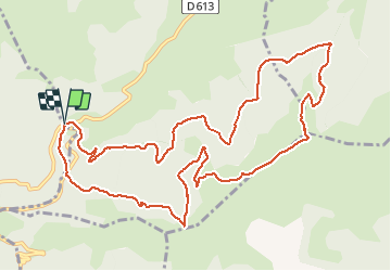

12.3 km | 26 km-effort

User


FREE GPS app for hiking
 SityTrail
IGN / Geographical institutes
SityTrail World
The world is yours!
Trail Walking of 14.1 km to be discovered at Occitania, Ariège, Caussou. This trail is proposed by c.chehere.
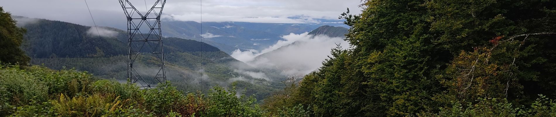
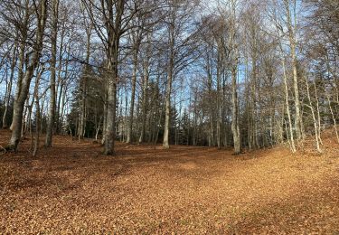
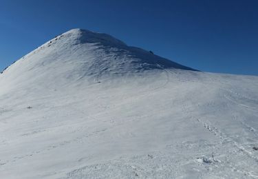
Belle rando, parcourue en automne 2020 avec un ciel très chargé.
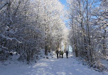
La plupart du temps le parcours se fait sur des pistes forestières.
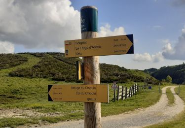
Piste entre le bois d'Artuzet et le col de Marmare un peu longuette, mais sans difficulté.
Parking au col de Marmare


Walking
Walking
Walking
Walking
Walking
Snowshoes
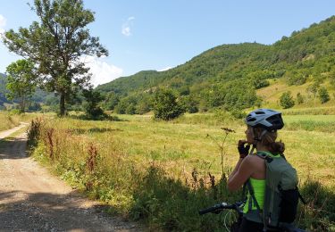
Mountain bike
Walking